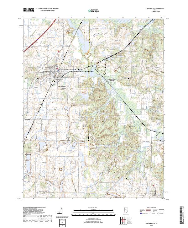
2022 Map of Oakland City
USGS Topo · Published 2022About this map
Oakland City serves as the primary hub of this landscape at the border of Gibson and Pike counties. The town is home to the Oakland City University campus and is defined by a historical rail network, including the Norfolk Southern line and the connection at Oakland City Junction. The surrounding countryside is dotted with small settlements such as Dongola, Spurgeon, and Somerville, alongside numerous family and community burial grounds like Montgomery Cem and Coleman Cem.
Find a feature on this map
107 named features on this map. Tap any name to fly to it.
Don’t see what you’re looking for? This feature index may not catch every label — zoom into the map to look around manually.
Map Details
Editions of this 2022 Oakland City Map
This is the sole edition of this map. No revisions or reprints were ever made.
Other maps of this area

1900 · De Gonia Springs
USGS Topo · 1:62,500

1902 · Ditney
USGS Topo · 1:125,000

1902 · Degonia Springs
USGS Topo · 1:62,500

1902 · Boonville
USGS Topo · 1:62,500

1903 · Velpen
USGS Topo · 1:62,500

1903 · Petersburg
USGS Topo · 1:62,500

1956 · Vincennes
USGS Topo · 1:250,000

1957 · Vincennes
USGS Topo · 1:250,000

1958 · Vincennes
USGS Topo · 1:250,000
1960 · Folsomville
USGS Topo · 1:24,000