Loading...
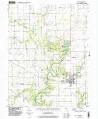
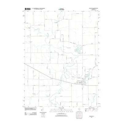
Loading map...1998 Map of Oakland
USGS Topo · Published 2003About this map
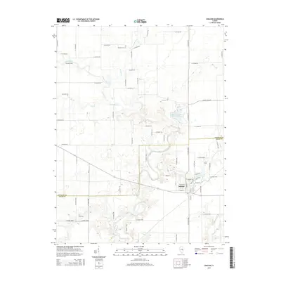
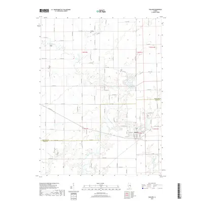
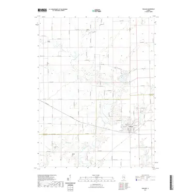
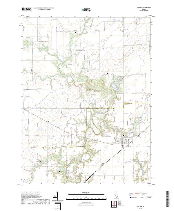
The Embarras River carves a winding path through this corner of East Central Illinois, defining the landscape between the townships of Sargent and East Oakland. The city of Oakland serves as the primary population center, situated near the confluence of Hog Branch and the river. This survey captures a rural landscape where scientific and recreational interests meet, most notably at the Prairie Observatory and the surrounding Walnut Point State Park.
Find a feature on this map
27 named features on this map. Tap any name to fly to it.
Don’t see what you’re looking for? This feature index may not catch every label — zoom into the map to look around manually.
Map Details
Date Portrayed1998
Date Published2003
PublisherU.S. Geological Survey
Map TypeTopographic
Scale1:24,000
Physical Dimensions22 x 26.8 inches
Editions of this 1998 Oakland Map
This is the sole edition of this map. No revisions or reprints were ever made.
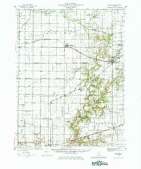
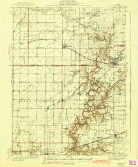
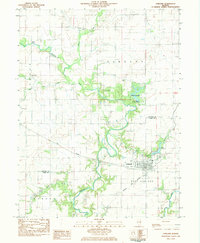
Historical Maps of Oakland Through Time
9 maps found
Featured Locations
Source Details
SourceU.S. Geological Survey
CopyrightPublic Domain