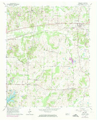
1965 Map of Oakland
USGS Topo · Published 1974About this map
Oakland serves as the primary hub in this mid-1960s West Tennessee landscape, situated along the Louisville and Nashville railroad tracks. The map reveals a countryside defined by agricultural patterns and a dense network of local institutions, including Brooks Chapel and Bell Grove Ch. To the west, the community of Hickory Withe sits near the headwaters of Cypress Creek, while the southern portion of the quadrangle is dominated by the Herb Parsons Lake State Fish and Game Refuge.
Find a feature on this map
55 named features on this map. Tap any name to fly to it.
Don’t see what you’re looking for? This feature index may not catch every label — zoom into the map to look around manually.
Map Details
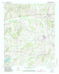
Editions of this 1965 Oakland Map
3 editions found
Other maps of this area

1943 · Collierville
USGS Topo · 1:62,500

1949 · Moscow
USGS Topo · 1:62,500

1952 · Lambert
USGS Topo · 1:24,000

1952 · Stanton
USGS Topo · 1:62,500

1953 · Collierville
USGS Topo · 1:50,000

1954 · Mason
USGS Topo · 1:62,500

1956 · Blytheville
USGS Topo · 1:250,000

1959 · Blytheville
USGS Topo · 1:250,000

1965 · Rossville
USGS Topo · 1:24,000
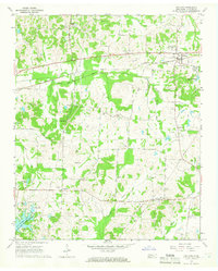
1965 · Oakland
USGS Topo · 1:24,000