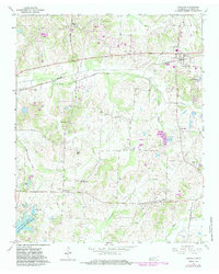
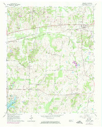
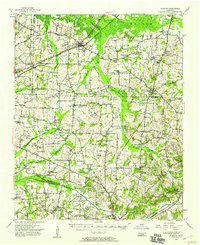
1965 Map of Oakland
USGS Topo · Published 1983About this map
The rolling agricultural landscape of West Tennessee is captured here as it appeared in the mid-1960s, punctuated by numerous family-named burial grounds and rural institutions. Settlements like Hickory Withe and Canadaville anchor the region, while the town of Oakland serves as a northern hub. The map reveals an extensive genealogical record through its many cemeteries, including Wilson Cem, Rayner Cem, and Payne Cem, which are scattered among the creek bottoms and ridge lines.
Find a feature on this map
52 named features on this map. Tap any name to fly to it.
Don’t see what you’re looking for? This feature index may not catch every label — zoom into the map to look around manually.
Map Details
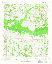
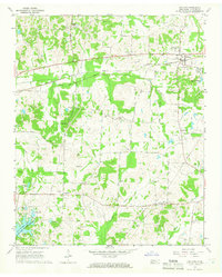
Editions of this 1965 Oakland Map
3 editions found
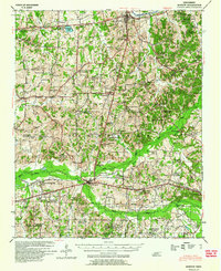
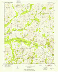
Other maps of this area

1943 · Collierville
USGS Topo · 1:62,500
1949 · Moscow
USGS Topo · 1:62,500
1952 · Lambert
USGS Topo · 1:24,000
1952 · Stanton
USGS Topo · 1:62,500

1953 · Collierville
USGS Topo · 1:50,000

1954 · Mason
USGS Topo · 1:62,500

1956 · Blytheville
USGS Topo · 1:250,000

1959 · Blytheville
USGS Topo · 1:250,000
1965 · Rossville
USGS Topo · 1:24,000
1965 · Oakland
USGS Topo · 1:24,000