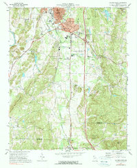
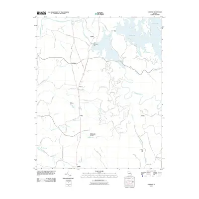
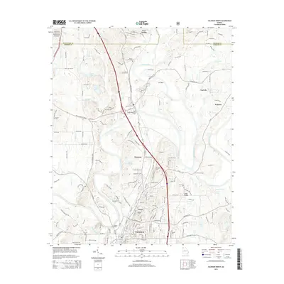
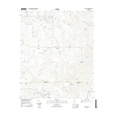
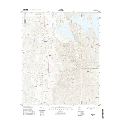
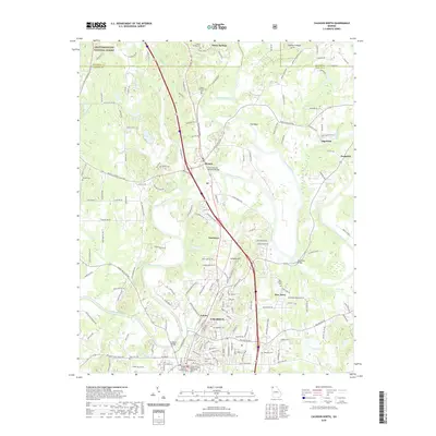
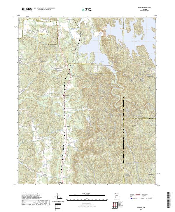
1971 Map of Oakman
USGS Topo · Published 1986About this map
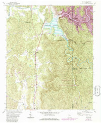
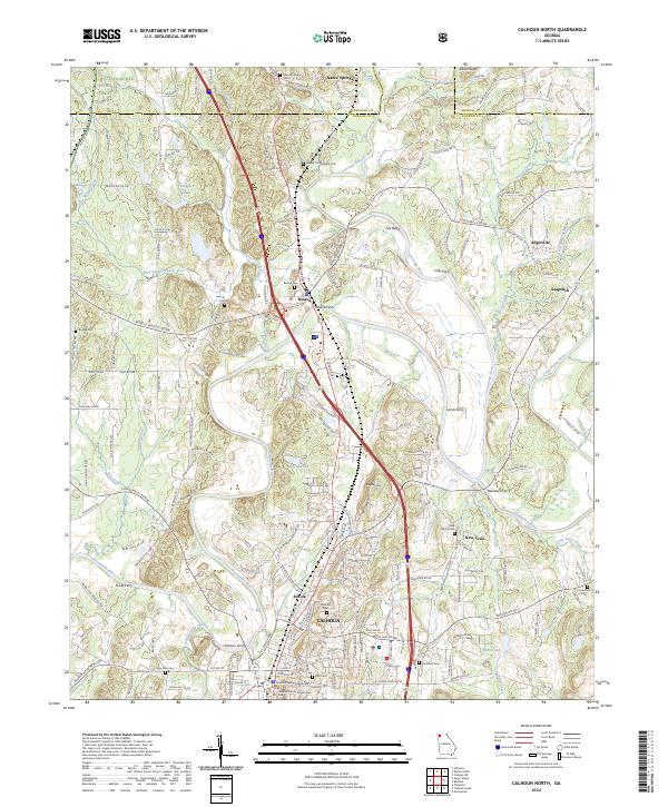
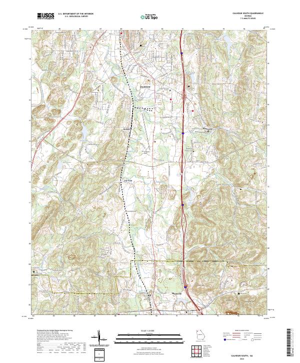
Carters Lake and the adjacent Reregulation Reservoir dominate the northeastern landscape, formed by the engineering of Carters Dam on the Coosawattee River. This 1970s survey, with purple-shaded photorevisions from the mid-1980s, reveals a terrain defined by rural water management and industrial movement. The Seaboard rail line runs north-to-south, serving a string of small communities including Oakman, Petersburg, and Colima.
Find a feature on this map
42 named features on this map. Tap any name to fly to it.
Don’t see what you’re looking for? This feature index may not catch every label — zoom into the map to look around manually.
Map Details
Editions of this 1971 Oakman Map
2 editions found
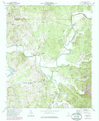
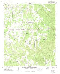
Historical Maps of Ranger Through Time
36 maps found
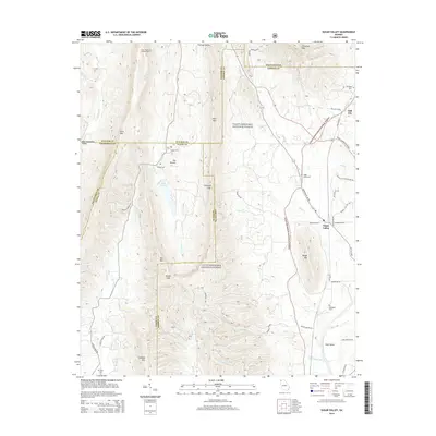
1967 Sugar Valley
Gordon County, GA
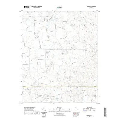
1971 Oakman
Gordon County, GA
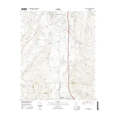
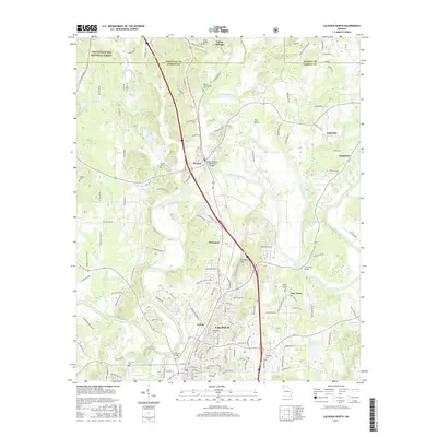
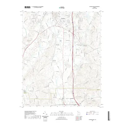
1972 Calhoun North
Gordon County, GA
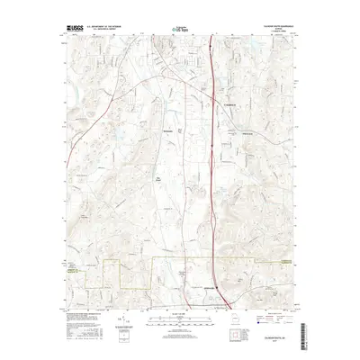
1972 Calhoun South
Gordon County, GA
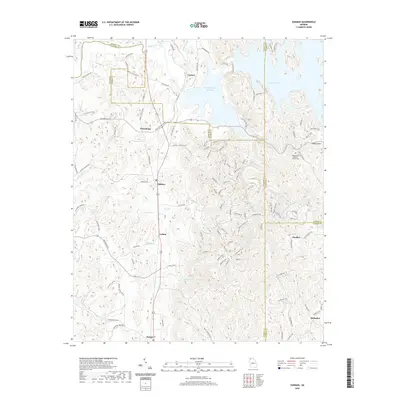
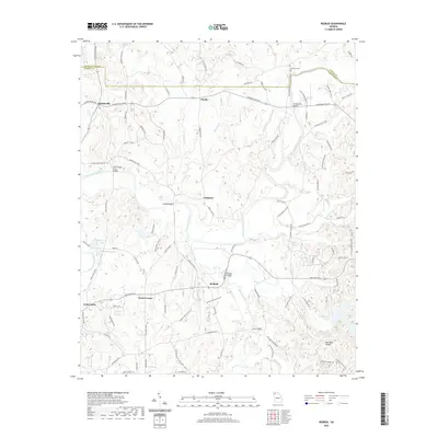
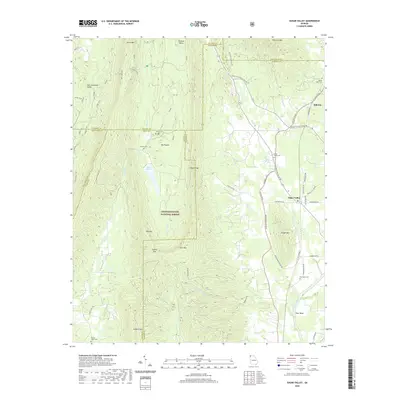
1972 Redbud
Gordon County, GA
1972 Sonoraville
Gordon County, GA
2011 Calhoun North
Gordon County, GA

2011 Calhoun South
Gordon County, GA
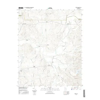
2011 Oakman
Gordon County, GA
2011 Redbud
Gordon County, GA
2011 Sonoraville
Gordon County, GA
2011 Sugar Valley
Gordon County, GA
2014 Calhoun North
Gordon County, GA
2014 Calhoun South
Gordon County, GA
2014 Oakman
Gordon County, GA
2014 Redbud
Gordon County, GA
2014 Sonoraville
Gordon County, GA
2014 Sugar Valley
Gordon County, GA
2017 Calhoun North
Gordon County, GA
2017 Calhoun South
Gordon County, GA
2017 Oakman
Gordon County, GA
2017 Redbud
Gordon County, GA
2017 Sonoraville
Gordon County, GA
2017 Sugar Valley
Gordon County, GA
2020 Calhoun North
Gordon County, GA
2020 Calhoun South
Gordon County, GA
2020 Oakman
Gordon County, GA
2020 Redbud
Gordon County, GA
2020 Sonoraville
Gordon County, GA
2020 Sugar Valley
Gordon County, GA
2024 Calhoun North
Gordon County, GA
2024 Calhoun South
Gordon County, GA
2024 Oakman
Gordon County, GA
2024 Redbud
Gordon County, GA
2024 Sonoraville
Gordon County, GA
2024 Sugar Valley
Gordon County, GA