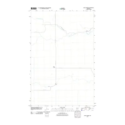
2010 Map of Oaks Corner
USGS Topo · Published 2010About this map
Oaks Corner serves as a central reference point in this Northern Minnesota landscape, where the geometry of forest management roads meets the meandering course of local waterways. The area is defined by its transit through dense woods, with Faunce Forest Rd and Bankton Forest Rd providing the primary access through the region. To the north, the North Branch Rapid River winds eastward, eventually joined by the main channel of the Rapid River further south.
Find a feature on this map
8 named features on this map. Tap any name to fly to it.
Don’t see what you’re looking for? This feature index may not catch every label — zoom into the map to look around manually.
Map Details
Editions of this 2010 Oaks Corner Map
This is the sole edition of this map. No revisions or reprints were ever made.
Other maps of this area
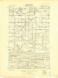
1918 · Winterroad
USGS Topo · 1:62,500
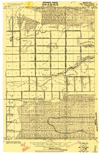
1918 · F
USGS Topo · 1:62,500
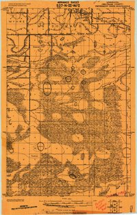
1919 · Peppermint Creek
USGS Topo · 1:62,500
1919 · G
USGS Topo · 1:62,500
1943 · Peppermint Creek
USGS Topo · 1:62,500
1954 · Roseau
USGS Topo · 1:250,000
1957 · Roseau
USGS Topo · 1:250,000
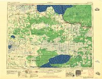
1958 · Roseau
USGS Topo · 1:250,000
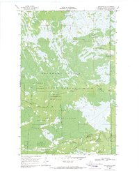
1968 · Graceton SE
USGS Topo · 1:24,000
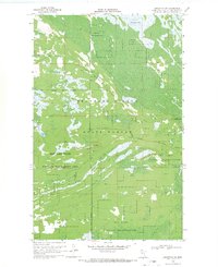
1968 · Graceton SW
USGS Topo · 1:24,000