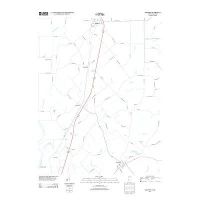
2013 Map of Oaktown
USGS Topo · Published 2013About this map
Oaktown and the surrounding agricultural landscapes of northern Knox County define this 2013 survey. The terrain is shaped by the wide Wabash River valley to the west, where Sevenmile Island sits adjacent to the lowlands of Shaker Prairie. A sophisticated network of drainage, including the Shaker Prairie Ditch and Lower Shaker Prairie Ditch, manages the water table across these fertile flats. To the east, the topography transitions toward slightly higher ground at Wolf Hill, giving way to the headwaters of numerous small streams such as Maria Cr and Smalls Cr.
Find a feature on this map
100 named features on this map. Tap any name to fly to it.
Don’t see what you’re looking for? This feature index may not catch every label — zoom into the map to look around manually.
Map Details
Editions of this 2013 Oaktown Map
This is the sole edition of this map. No revisions or reprints were ever made.
Other maps of this area

1915 · Vincennes
USGS Topo · 1:62,500

1917 · Birds
USGS Topo · 1:62,500

1942 · Fritchton
USGS Topo · 1:24,000

1942 · Birds
USGS Topo · 1:62,500

1943 · Carlisle
USGS Topo · 1:24,000

1943 · Oaktown
USGS Topo · 1:24,000

1943 · Bicknell
USGS Topo · 1:24,000

1944 · Bucktown
USGS Topo · 1:24,000

1944 · Fritchton
USGS Topo · 1:24,000

1944 · Wheatland
USGS Topo · 1:24,000