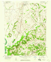
1958 Map of Oaktown
USGS Topo · Published 1959About this map
Oaktown and Bruceville anchor this western Indiana landscape in the late 1950s, a region defined by the drainage systems of Maria Creek and the Wabash River. The map reveals a deeply rooted rural community, marked by numerous family and church cemeteries such as Ocheltree Cem, Light Cem, and Threlkeld Cem that dot the countryside between the Chicago and Eastern Illinois and Pennsylvania railroad lines.
Find a feature on this map
39 named features on this map. Tap any name to fly to it.
Don’t see what you’re looking for? This feature index may not catch every label — zoom into the map to look around manually.
Map Details
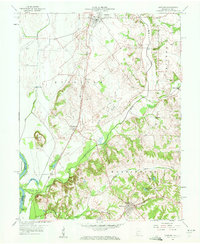
Editions of this 1958 Oaktown Map
2 editions found
Other maps of this area

1915 · Vincennes
USGS Topo · 1:62,500

1917 · Birds
USGS Topo · 1:62,500

1942 · Fritchton
USGS Topo · 1:24,000

1942 · Birds
USGS Topo · 1:62,500

1943 · Carlisle
USGS Topo · 1:24,000

1943 · Oaktown
USGS Topo · 1:24,000

1943 · Bicknell
USGS Topo · 1:24,000

1944 · Bucktown
USGS Topo · 1:24,000

1944 · Fritchton
USGS Topo · 1:24,000

1944 · Wheatland
USGS Topo · 1:24,000