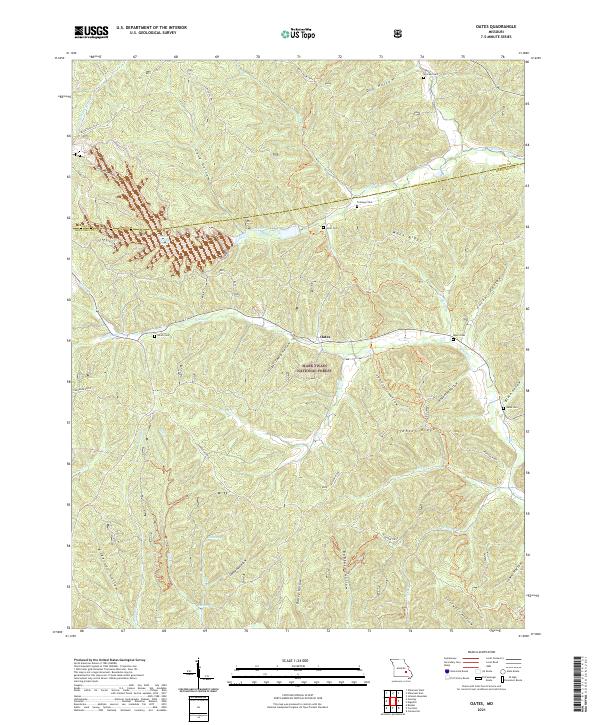
2021 Map of Oates
USGS Topo · Published 2021About this map
The settlement of Oates serves as a quiet center point for this Missouri landscape, situated near the boundary of the Mark Twain National Forest. The map reveals a dense network of family-named cemeteries, such as Asher Cem, Smith Cem, and Stricklin Cem, which provide critical reference points for local genealogy. The terrain is defined by deep hollows and high ridges, including Ironton Ridge and Mack Ridge, which dictate the winding paths of roads like Karkagne Drive.
Find a feature on this map
47 named features on this map. Tap any name to fly to it.
Don’t see what you’re looking for? This feature index may not catch every label — zoom into the map to look around manually.
Map Details
Editions of this 2021 Oates Map
This is the sole edition of this map. No revisions or reprints were ever made.
Other maps of this area

1924 · Edgehill
USGS Topo · 1:62,500

1926 · Edgehill
USGS Topo · 1:62,500

1943 · Lesterville
USGS Topo · 1:62,500

1943 · Boss
USGS Topo · 1:62,500

1944 · Corridon
USGS Topo · 1:62,500

1946 · Lesterville
USGS Topo · 1:62,500

1946 · Boss
USGS Topo · 1:62,500

1947 · Corridon
USGS Topo · 1:62,500

1949 · Rolla
USGS Topo · 1:250,000

1953 · Rolla
USGS Topo · 1:250,000