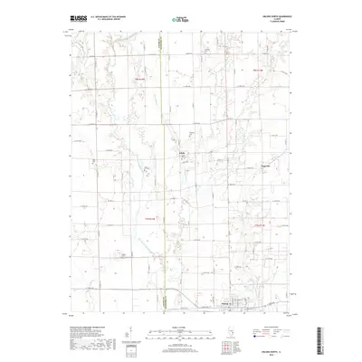
2018 Map of Oblong North
USGS Topo · Published 2018About this map
The North Fork Embarras River winds through the western half of this landscape, defining the rural character of the Jasper Co and Crawford Co border. While the southern edge of the survey reaches the village of Oblong, much of the map is dedicated to the agricultural interior and small settlements like Kibbie and Dogwood. This region is particularly rich in family and community burial sites, with many small plots such as Harmony Cem, White Oak Cem, and Baily Cem scattered across the township lines of t8n r14w and t7n r13w. The map reveals a dense network of county roads and avenues that connect these crossroads, while several tributaries, including Muddy Cr and No Business Cr, carve paths through the fields toward the main river valley.
Find a feature on this map
70 named features on this map. Tap any name to fly to it.
Don’t see what you’re looking for? This feature index may not catch every label — zoom into the map to look around manually.
Map Details
Editions of this 2018 Oblong North Map
This is the sole edition of this map. No revisions or reprints were ever made.
Other maps of this area

1910 · Hardinville
USGS Topo · 1:62,500

1940 · Greenup
USGS Topo · 1:62,500

1941 · Newton
USGS Topo · 1:62,500

1943 · Greenup
USGS Topo · 1:62,500

1943 · Newton
USGS Topo · 1:62,500

1953 · Indianapolis
USGS Topo · 1:250,000

1956 · Indianapolis
USGS Topo · 1:250,000

1956 · Annapolis
USGS Topo · 1:62,500

1956 · Vincennes
USGS Topo · 1:250,000

1957 · Indianapolis
USGS Topo · 1:250,000