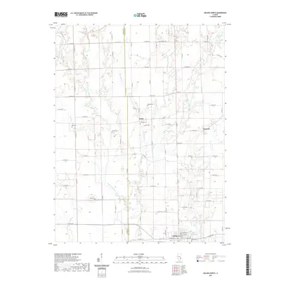
2021 Map of Oblong North
USGS Topo · Published 2021About this map
The North Fork Embarras River carves a winding path through the western half of this Illinois landscape, defining the rural character of the border between Jasper and Crawford counties. The settlement of Oblong anchors the southern margin, featuring Oblong Lake and the nearby Oblong Cemetery. Small unincorporated communities like Kibbie and Dogwood are situated along a grid of local county highways, reflecting the enduring agricultural layout of the region.
Find a feature on this map
69 named features on this map. Tap any name to fly to it.
Don’t see what you’re looking for? This feature index may not catch every label — zoom into the map to look around manually.
Map Details
Editions of this 2021 Oblong North Map
This is the sole edition of this map. No revisions or reprints were ever made.
Other maps of this area

1910 · Hardinville
USGS Topo · 1:62,500

1940 · Greenup
USGS Topo · 1:62,500

1941 · Newton
USGS Topo · 1:62,500

1943 · Greenup
USGS Topo · 1:62,500

1943 · Newton
USGS Topo · 1:62,500

1953 · Indianapolis
USGS Topo · 1:250,000

1956 · Indianapolis
USGS Topo · 1:250,000

1956 · Annapolis
USGS Topo · 1:62,500

1956 · Vincennes
USGS Topo · 1:250,000

1957 · Indianapolis
USGS Topo · 1:250,000