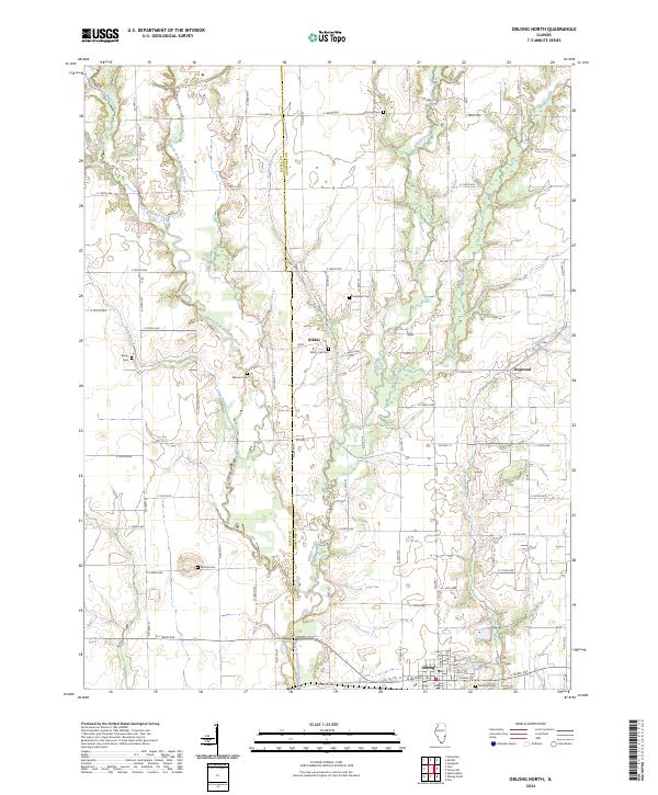
2024 Map of Oblong North
USGS Topo · Published 2024About this map
The North Fork Embarras River carves a winding path across this landscape, defining the rural character of the Jasper and Crawford county line. This territory is dotted with small, historic gathering points and ancestral burial grounds, including White Oak Cem, Randolph Cem, and the prominent Mound Cem. The drainage patterns of Panther Creek and No-Business Creek indicate the agricultural nature of the terrain, where small settlements like Kibbie and Dogwood once served as local hubs.
Find a feature on this map
49 named features on this map. Tap any name to fly to it.
Don’t see what you’re looking for? This feature index may not catch every label — zoom into the map to look around manually.
Map Details
Editions of this 2024 Oblong North Map
This is the sole edition of this map. No revisions or reprints were ever made.
Other maps of this area

1910 · Hardinville
USGS Topo · 1:62,500

1940 · Greenup
USGS Topo · 1:62,500

1941 · Newton
USGS Topo · 1:62,500

1943 · Greenup
USGS Topo · 1:62,500

1943 · Newton
USGS Topo · 1:62,500

1953 · Indianapolis
USGS Topo · 1:250,000

1956 · Indianapolis
USGS Topo · 1:250,000

1956 · Annapolis
USGS Topo · 1:62,500

1956 · Vincennes
USGS Topo · 1:250,000

1957 · Indianapolis
USGS Topo · 1:250,000