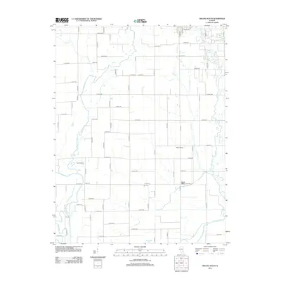
2012 Map of Oblong South
USGS Topo · Published 2012About this map
The Embarras River and its winding tributaries define the rural character of Crawford County in this 2012 topographic survey. Small settlements like Pierceburg and Green Brier anchor a landscape divided by a geometric grid of county roads. The river’s natural course is marked by distinctive oxbow features such as Horseshoe Pond and the Dead River, illustrating the slow migration of the waterway over time. Genealogy and local history researchers will find several well-preserved rural burial grounds, including Sainte Valentine Cem, Miller Cem, Yager Cem, and Berlin Cem, which serve as quiet landmarks of the families who settled this agricultural region. The eastern portion of the map is particularly water-rich, where Dogwood Cr, Big Cr, and Little Cr converge toward the main river valley.
Find a feature on this map
68 named features on this map. Tap any name to fly to it.
Don’t see what you’re looking for? This feature index may not catch every label — zoom into the map to look around manually.
Map Details
Editions of this 2012 Oblong South Map
This is the sole edition of this map. No revisions or reprints were ever made.
Other maps of this area

1910 · Hardinville
USGS Topo · 1:62,500

1940 · Greenup
USGS Topo · 1:62,500

1941 · Newton
USGS Topo · 1:62,500

1943 · Greenup
USGS Topo · 1:62,500

1943 · Newton
USGS Topo · 1:62,500

1953 · Indianapolis
USGS Topo · 1:250,000

1956 · Indianapolis
USGS Topo · 1:250,000

1956 · Annapolis
USGS Topo · 1:62,500

1956 · Vincennes
USGS Topo · 1:250,000

1957 · Indianapolis
USGS Topo · 1:250,000