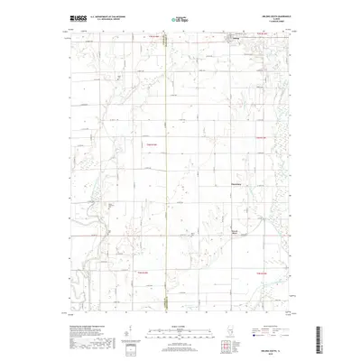
2018 Map of Oblong South
USGS Topo · Published 2018About this map
Miller Cem and Sainte Valentine Cem sit among the structured agricultural grid of Jasper and Crawford counties, marking the generational history of this rural Illinois landscape. The North Fork Embarras River winds southward, eventually joining the main Embarras River in the lower portion of the area. This confluence is defined by low-lying bottomlands where features like Horseshoe Pond and the Dead River suggest the shifting path of the water over time.
Find a feature on this map
76 named features on this map. Tap any name to fly to it.
Don’t see what you’re looking for? This feature index may not catch every label — zoom into the map to look around manually.
Map Details
Editions of this 2018 Oblong South Map
This is the sole edition of this map. No revisions or reprints were ever made.
Other maps of this area

1910 · Hardinville
USGS Topo · 1:62,500

1940 · Greenup
USGS Topo · 1:62,500

1941 · Newton
USGS Topo · 1:62,500

1943 · Greenup
USGS Topo · 1:62,500

1943 · Newton
USGS Topo · 1:62,500

1953 · Indianapolis
USGS Topo · 1:250,000

1956 · Indianapolis
USGS Topo · 1:250,000

1956 · Annapolis
USGS Topo · 1:62,500

1956 · Vincennes
USGS Topo · 1:250,000

1957 · Indianapolis
USGS Topo · 1:250,000