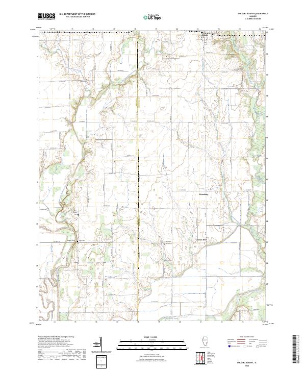
2024 Map of Oblong South
USGS Topo · Published 2024About this map
The North Fork Embarras River winds through the rural landscape of southern Crawford County, meeting the Embarras River in a territory defined by small crossroads settlements and family burial grounds. The southern outskirts of Oblong appear in the north, while smaller locales like Pierceburg and Green Brier sit along the county line. The map highlights numerous historical cemeteries, including Miller Cem, Saint Valentine Cem, Yager Cem, and Berlin Cem, which serve as vital landmarks for genealogists and local historians tracking early settlers. Near the confluence of the waterways, distinct geographical features like Horseshoe Pond and the Dead River indicate the shifting course of the river over time. Long-standing local transit points are also preserved, most notably Yeager Ford, where travelers once crossed the winding creek and river system that still dominates the local topography.
Find a feature on this map
69 named features on this map. Tap any name to fly to it.
Don’t see what you’re looking for? This feature index may not catch every label — zoom into the map to look around manually.
Map Details
Editions of this 2024 Oblong South Map
This is the sole edition of this map. No revisions or reprints were ever made.
Other maps of this area

1910 · Hardinville
USGS Topo · 1:62,500

1940 · Greenup
USGS Topo · 1:62,500

1941 · Newton
USGS Topo · 1:62,500

1943 · Greenup
USGS Topo · 1:62,500

1943 · Newton
USGS Topo · 1:62,500

1953 · Indianapolis
USGS Topo · 1:250,000

1956 · Indianapolis
USGS Topo · 1:250,000

1956 · Annapolis
USGS Topo · 1:62,500

1956 · Vincennes
USGS Topo · 1:250,000

1957 · Indianapolis
USGS Topo · 1:250,000