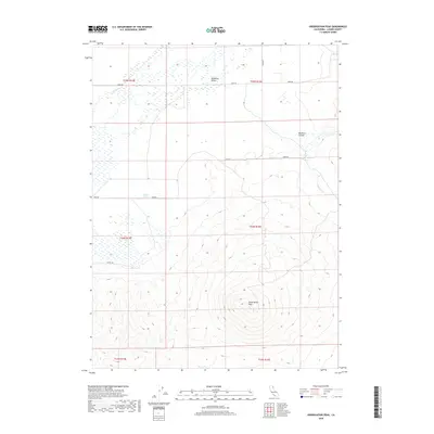
2018 Map of Observation Peak
USGS Topo · Published 2018About this map
Observation Peak anchors this high-elevation landscape in Lassen County, where the southern reaches of the Madeline Plains meet a complex series of ridges and drainages. The area is defined by its seasonal water sources and rugged relief, including Buckhorn Canyon and the headwaters of Cold Spring Cr. A network of early ranching and transit routes like Marr Rd, Horn Rd, and Stage Rd cross the terrain, connecting disparate water points such as Pothole Spring. The map detail captures a specific moment in the Public Land Survey System, showing the township and range intersections that historically governed land claims and development in this part of northeastern California.
Find a feature on this map
16 named features on this map. Tap any name to fly to it.
Don’t see what you’re looking for? This feature index may not catch every label — zoom into the map to look around manually.
Map Details
Editions of this 2018 Observation Peak Map
This is the sole edition of this map. No revisions or reprints were ever made.
Other maps of this area
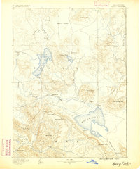
1886 · Honey Lake
USGS Topo · 1:250,000
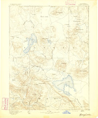
1891 · Honey Lake
USGS Topo · 1:250,000
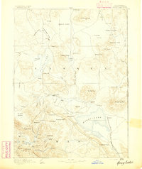
1893 · Honey Lake
USGS Topo · 1:250,000
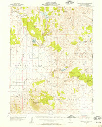
1954 · Observation Peak
USGS Topo · 1:62,500
1954 · Karlo
USGS Topo · 1:62,500
1954 · Ravendale
USGS Topo · 1:62,500
1954 · Shinn Mountain
USGS Topo · 1:62,500
1955 · Westwood
USGS Topo · 1:250,000
1958 · Westwood
USGS Topo · 1:250,000
1959 · Westwood
USGS Topo · 1:250,000