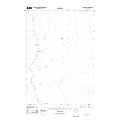
2012 Map of Obsidian Cliff
USGS Topo · Published 2012About this map
Obsidian Cliff and the thermal terrain of Porcelain Basin dominate this high-altitude corner of Park County. The map documents a landscape shaped by volcanic history and geothermal activity, visible through a dense concentration of named hydrothermal features. Numerous water sources such as Apollinaris Spring, Whiterock Springs, and Frying Pan Spring dot the terrain, while Roaring Mountain stands as a prominent geothermal landmark. Drainage patterns are defined by the winding paths of Obsidian Cr and Solfatara Cr, which carve through the distinct topography of Obsidian Canyon. This survey captures the natural state of the wilderness in the early 21st century, detailing the many ponds and lakes like Nymph Lake and Lake of the Woods that fill the depressions between these ancient geological formations.
Find a feature on this map
27 named features on this map. Tap any name to fly to it.
Don’t see what you’re looking for? This feature index may not catch every label — zoom into the map to look around manually.
Map Details
Editions of this 2012 Obsidian Cliff Map
This is the sole edition of this map. No revisions or reprints were ever made.
Other maps of this area
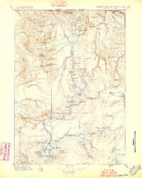
1885 · Gallatin
USGS Topo · 1:125,000
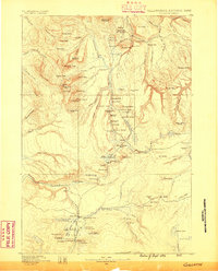
1885 · Gallatin
USGS Topo · 1:125,000
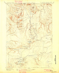
1901 · Gallatin
USGS Topo · 1:125,000
1908 · Gallatin
USGS Topo · 1:125,000
1911 · Gallatin
USGS Topo · 1:125,000

1955 · Ashton
USGS Topo · 1:250,000
1958 · Ashton
USGS Topo · 1:250,000
1958 · Madison Junction
USGS Topo · 1:62,500
1958 · Mount Holmes
USGS Topo · 1:62,500
1958 · Norris Junction
USGS Topo · 1:62,500