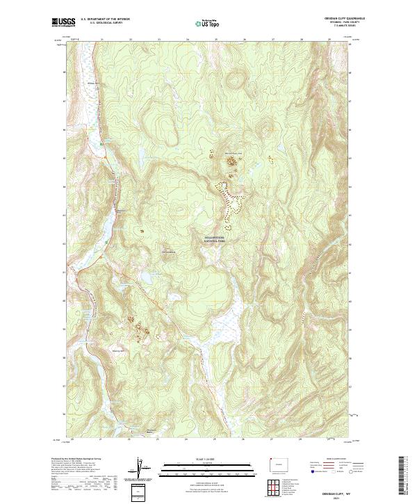
2021 Map of Obsidian Cliff
USGS Topo · Published 2021About this map
Obsidian Cliff stands as the central landmark of this high-elevation terrain within Yellowstone National Park. The map documents a landscape defined by its thermal activity and volcanic geology, from the steam and mineral deposits of Porcelain Basin to the thermal features at Roaring Mtn. Modern travel follows the Grand Loop Road - Mammoth-Norris, tracing a route past the high-silica glass formations of Obsidian Canyon.
Find a feature on this map
37 named features on this map. Tap any name to fly to it.
Don’t see what you’re looking for? This feature index may not catch every label — zoom into the map to look around manually.
Map Details
Editions of this 2021 Obsidian Cliff Map
This is the sole edition of this map. No revisions or reprints were ever made.
Other maps of this area

1885 · Gallatin
USGS Topo · 1:125,000

1885 · Gallatin
USGS Topo · 1:125,000

1901 · Gallatin
USGS Topo · 1:125,000

1908 · Gallatin
USGS Topo · 1:125,000

1911 · Gallatin
USGS Topo · 1:125,000

1955 · Ashton
USGS Topo · 1:250,000

1958 · Ashton
USGS Topo · 1:250,000

1958 · Madison Junction
USGS Topo · 1:62,500

1958 · Mount Holmes
USGS Topo · 1:62,500
1958 · Norris Junction
USGS Topo · 1:62,500