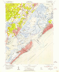
1952 Map of Ocean City
USGS Topo · Published 1955About this map
Peck Beach and the coastal barrier islands define this mid-century portrait of the New Jersey shore, where the developed grids of Ocean City and Margate City face the intricate marshes of Great Egg Harbor Bay. This landscape is a complex network of tidal channels and thoroughfares, including Risley Channel and Broad Thorofare, separating the mainland from the sea. On the mainland, established communities like Somers Point, Linwood, and Northfield are connected by Shore Road and the early construction of the Garden State Parkway.
Find a feature on this map
67 named features on this map. Tap any name to fly to it.
Don’t see what you’re looking for? This feature index may not catch every label — zoom into the map to look around manually.
Map Details
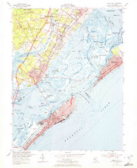
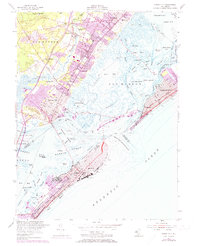
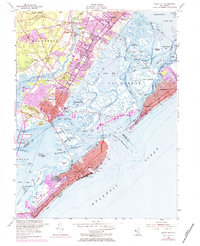
Editions of this 1952 Ocean City Map
4 editions found
Other maps of this area

1884 · Sea Isle
USGS Topo · 1:62,500

1887 · Atlantic City
USGS Topo · 1:62,500

1888 · Sea Isle
USGS Topo · 1:62,500

1890 · Great Egg Harbor
USGS Topo · 1:62,500

1893 · Great Egg Harbor
USGS Topo · 1:62,500

1894 · Sea Isle
USGS Topo · 1:62,500

1894 · Atlantic City
USGS Topo · 1:62,500

1918 · Great Egg Harbor
USGS Topo · 1:62,500

1919 · Sea Isle
USGS Topo · 1:62,500

1940 · Atlantic City
USGS Topo · 1:62,500