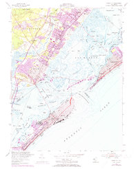
1952 Map of Ocean City
USGS Topo · Published 1973About this map
The barrier islands and complex tidal thorofares of southern New Jersey appear here during a period of significant coastal development and transport evolution. Ocean City dominates the southern coastline, anchored by its Municipal Pier and grid of streets alongside the Pennsylvania-Reading Seashore Lines. Across the Great Egg Harbor Inlet, the landscape transitions from the developed beachfronts of Margate City and Longport to a labyrinth of marshes and islands, including Pork Island and Drag Island. Further inland, the map captures established mainland communities such as Somers Point and Linwood, where the expansion of the Garden State Parkway began to reshape local connectivity. Local history is preserved in the location of the Friends Central Cem, the Zion Ch, and various neighborhood institutions like the Steelmanville Sch. The intricate network of water channels, from Scull Bay to Peck Bay, illustrates the navigational complexity of the Intracoastal Waterway before modern shoreline stabilization and dredging altered many of these smaller passages.
Find a feature on this map
68 named features on this map. Tap any name to fly to it.
Don’t see what you’re looking for? This feature index may not catch every label — zoom into the map to look around manually.
Map Details
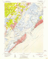
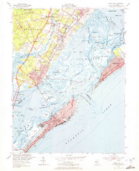
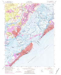
Editions of this 1952 Ocean City Map
4 editions found
Other maps of this area

1884 · Sea Isle
USGS Topo · 1:62,500

1887 · Atlantic City
USGS Topo · 1:62,500

1888 · Sea Isle
USGS Topo · 1:62,500

1890 · Great Egg Harbor
USGS Topo · 1:62,500

1893 · Great Egg Harbor
USGS Topo · 1:62,500

1894 · Sea Isle
USGS Topo · 1:62,500

1894 · Atlantic City
USGS Topo · 1:62,500

1918 · Great Egg Harbor
USGS Topo · 1:62,500

1919 · Sea Isle
USGS Topo · 1:62,500

1940 · Atlantic City
USGS Topo · 1:62,500