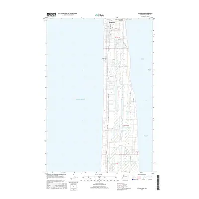
2017 Map of Ocean Park
USGS Topo · Published 2017About this map
The North Beach Peninsula forms a narrow, freshwater-pocketed strip between the churning Pacific Ocean and the sheltered waters of Willapa Bay. This 2017 study illustrates the delicate balance of the coastal landscape, where long north-south thoroughfares like Pacific Way and Sandridge Rd connect the established communities of Ocean Park, Klipsan Beach, and Oceanside. The interior of the peninsula is a complex mosaic of marshland and small lakes, including Loomis Lake, Island Lake, and Deer Lake, which reflect the region's unique hydrology.
Find a feature on this map
50 named features on this map. Tap any name to fly to it.
Don’t see what you’re looking for? This feature index may not catch every label — zoom into the map to look around manually.
Map Details
Editions of this 2017 Ocean Park Map
This is the sole edition of this map. No revisions or reprints were ever made.
Other maps of this area

1938 · Cape Disappointment
USGS Topo · 1:62,500

1938 · Cape Shoalwater
USGS Topo · 1:62,500

1938 · Fort Columbia
USGS Topo · 1:62,500

1938 · South Bend
USGS Topo · 1:62,500

1940 · South Bend
USGS Topo · 1:62,500

1943 · Fort Columbia
USGS Topo · 1:62,500

1943 · Copalis Beach
USGS Topo · 1:250,000

1949 · Chinook
USGS Topo · 1:24,000

1949 · Ocean Park
USGS Topo · 1:24,000

1949 · Long Island
USGS Topo · 1:24,000