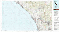
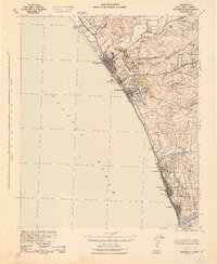
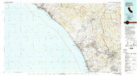
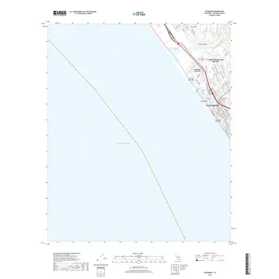
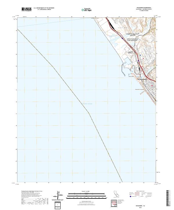
1982 Map of Oceanside
USGS Topo · Published 1983About this map
Camp Pendleton Marine Corps Base dominates the central coastline of this 1980s landscape, creating a significant buffer between the growing suburban corridors of Orange and San Diego counties. This era captures the region's development just before the massive population booms of the late 20th century, showing established coastal communities like San Clemente and Oceanside alongside the more rural inland reaches of the Santa Margarita Mountains. The infrastructure of the Cold War and the atomic age is evident at the San Onofre Nuclear Generating Station and the Naval Weapons Station. Inland, the map details a complex network of canyons and ridges, where the San Luis Rey River and Santa Margarita River flow toward the Gulf of Santa Catalina. Significant cultural landmarks include the Pala Indian Reservation and the Pechanga Indian Reservation, reflecting the deep indigenous roots that persist alongside modern institutional growth like Palomar College.
Find a feature on this map
53 named features on this map. Tap any name to fly to it.
Don’t see what you’re looking for? This feature index may not catch every label — zoom into the map to look around manually.
Map Details
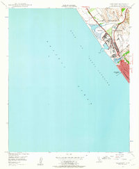
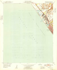
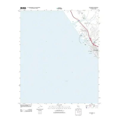
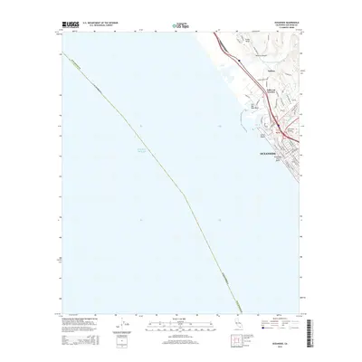
Editions of this 1982 Oceanside Map
2 editions found
Historical Maps of San Diego Through Time
13 maps found
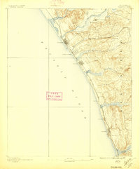
1893 Oceanside
San Diego County, CA
1898 Oceanside
San Diego County, CA
1901 Oceanside
San Diego County, CA
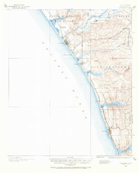
1942 Oceanside
San Diego County, CA
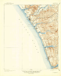
1947 Oceanside
San Diego County, CA
1949 Oceanside
San Diego County, CA
1968 Oceanside
San Diego County, CA
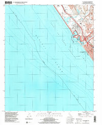
1982 Oceanside
San Diego County, CA
1997 Oceanside
San Diego County, CA
2012 Oceanside
San Diego County, CA
2015 Oceanside
San Diego County, CA
2018 Oceanside
San Diego County, CA
2022 Oceanside
San Diego County, CA