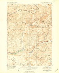
1950 Map of Ochoco Reservoir
USGS Topo · Published 1950About this map
The central Ochoco Reservoir and its surrounding watershed anchor this mid-century survey of the Oregon high country. This landscape is defined by its verticality, rising from the waters of Ochoco Creek to prominent volcanic features like Steins Pillar and Hash Rock. Human presence is mapped through early infrastructure and ranching outposts, including the Mill Cr School and Keystone Ranch. The area within the Ochoco National Forest shows a network of remote springs and camps, such as Wildcat Camp and Lakin Place, which supported the region's forest management and livestock operations. The detailed topography illustrates a complex drainage system where McKay Creek and Mill Creek carve through the ridges, providing essential water sources for the isolated Howard School and various guard stations in the foothills of Wildcat Mountain.
Find a feature on this map
74 named features on this map. Tap any name to fly to it.
Don’t see what you’re looking for? This feature index may not catch every label — zoom into the map to look around manually.
Map Details
Editions of this 1950 Ochoco Reservoir Map
4 editions found
Other maps of this area

1926 · Mitchell
USGS Topo · 1:125,000

1946 · Eagle Rock
USGS Topo · 1:62,500

1948 · Eagle Rock
USGS Topo · 1:62,500

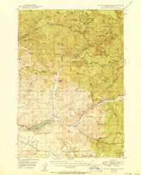
1948 · Ochoco Reservoir
USGS Topo · 1:62,500

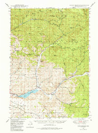
1950 · Ochoco Reservoir
USGS Topo · 1:62,500

1951 · Post
USGS Topo · 1:62,500

1951 · Lookout Mtn
USGS Topo · 1:62,500

1955 · Bend
USGS Topo · 1:250,000

1957 · Bend
USGS Topo · 1:250,000

1958 · Bend
USGS Topo · 1:250,000