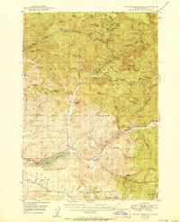
1950 Map of Ochoco Reservoir
USGS Topo · Published 1950About this map
The high plateau and canyon country of the Ochoco National Forest dominates this mid-century landscape, centered on the newly managed water systems of Crook County. At the heart of the map is the Ochoco Reservoir, fed by Ochoco Cr and Marks Creek, showing the infrastructure of the era including the Spillway 3130 and a Gaging Sta. The settlement pattern reflects the area's ranching and forestry heritage, with isolated outposts like the Keystone Ranch, Lakin Place, and the Dixie Meadows tucked into the drainage basins.
Find a feature on this map
70 named features on this map. Tap any name to fly to it.
Don’t see what you’re looking for? This feature index may not catch every label — zoom into the map to look around manually.
Map Details
Editions of this 1950 Ochoco Reservoir Map
4 editions found
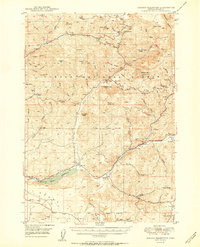
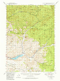
Other maps of this area

1926 · Mitchell
USGS Topo · 1:125,000

1946 · Eagle Rock
USGS Topo · 1:62,500

1948 · Eagle Rock
USGS Topo · 1:62,500

1948 · Ochoco Reservoir
USGS Topo · 1:62,500

1950 · Ochoco Reservoir
USGS Topo · 1:62,500

1951 · Post
USGS Topo · 1:62,500

1951 · Lookout Mtn
USGS Topo · 1:62,500

1955 · Bend
USGS Topo · 1:250,000

1957 · Bend
USGS Topo · 1:250,000

1958 · Bend
USGS Topo · 1:250,000