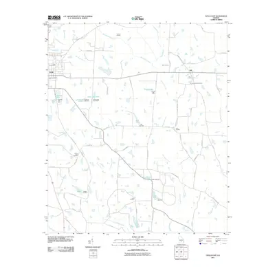
2011 Map of Ocilla East
USGS Topo · Published 2011About this map
The town of Ocilla and the surrounding Irwin County countryside appear in detail during this 2011 survey, showing a landscape defined by agriculture and a dense network of blackwater streams. The Willacoochee River and Willacoochee Creek dominate the central drainage, while the eastern edge of the quadrangle is marked by Satilla Creek. Family names are deeply etched into the local geography, visible in the many small reservoirs and dams such as Veal Lake Dam, Shiver Lake Dam South, and Harper Lake Dam.
Find a feature on this map
70 named features on this map. Tap any name to fly to it.
Don’t see what you’re looking for? This feature index may not catch every label — zoom into the map to look around manually.
Map Details
Editions of this 2011 Ocilla East Map
This is the sole edition of this map. No revisions or reprints were ever made.
Other maps of this area

1953 · Waycross
USGS Topo · 1:250,000

1958 · Waycross
USGS Topo · 1:250,000

1972 · Fitzgerald East
USGS Topo · 1:24,000

1972 · Lax
USGS Topo · 1:24,000

1972 · Ambrose
USGS Topo · 1:24,000

1972 · Ocilla East
USGS Topo · 1:24,000

1973 · Ocilla West
USGS Topo · 1:24,000

1973 · Enigma
USGS Topo · 1:24,000

1973 · Fitzgerald West
USGS Topo · 1:24,000

1977 · Osierfield
USGS Topo · 1:24,000