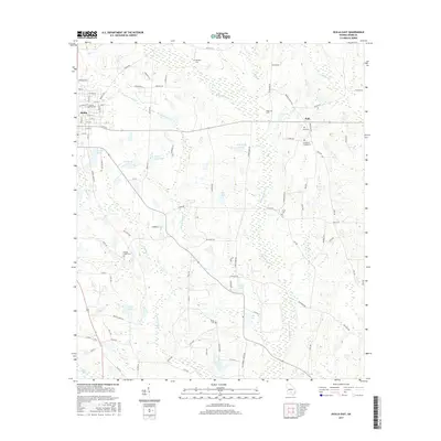
2017 Map of Ocilla East
USGS Topo · Published 2017About this map
Ocilla and the small community of Holt anchor this portion of Irwin County, where the landscape transitions from town grids to a complex network of wetlands and water bodies. The eastern reaches of the county seat are defined by the Ocilla City Cem and a series of agricultural roads named for local birds and families. Further east, the Willacoochee River and Willacoochee Cr meander through the terrain, feeding into numerous named lakes such as Tankersly Lake, Shiver Lake South, and Cook Lake. This environment is dotted with small family and community burial grounds, including the Henderson Chapel Cem and Paulk Cem, which serve as critical markers of local settlement history. The presence of Bethlehem Church and several other rural cemeteries like Whitleys Cem suggests a long-standing pattern of dispersed homesteads and close-knit rural congregations tied to the river's drainage basin.
Find a feature on this map
99 named features on this map. Tap any name to fly to it.
Don’t see what you’re looking for? This feature index may not catch every label — zoom into the map to look around manually.
Map Details
Editions of this 2017 Ocilla East Map
This is the sole edition of this map. No revisions or reprints were ever made.
Other maps of this area

1953 · Waycross
USGS Topo · 1:250,000

1958 · Waycross
USGS Topo · 1:250,000

1972 · Fitzgerald East
USGS Topo · 1:24,000

1972 · Lax
USGS Topo · 1:24,000

1972 · Ambrose
USGS Topo · 1:24,000

1972 · Ocilla East
USGS Topo · 1:24,000

1973 · Ocilla West
USGS Topo · 1:24,000

1973 · Enigma
USGS Topo · 1:24,000

1973 · Fitzgerald West
USGS Topo · 1:24,000

1977 · Osierfield
USGS Topo · 1:24,000