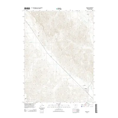
2014 Map of Oconto
USGS Topo · Published 2014About this map
Oconto serves as the primary hub in this central Nebraska landscape, situated where the valley terrain meets the drainage of the Wood River. The map captures a transition from the elevated Redfern Table in the southwest toward the alluvial corridor of the South Loup River in the northeast. This 2014 survey documents the enduring layout of rural Custer County, featuring the small settlement of Lodi and a series of burial grounds that mark the local heritage, including Saint Mary Cem, Lodi Cem, and Riverside Cem. The path of Ne-40 and S Railroad St within Oconto illustrate the historical importance of transportation corridors in defining the town's orientation relative to the watercourses and surrounding agricultural uplands.
Find a feature on this map
10 named features on this map. Tap any name to fly to it.
Don’t see what you’re looking for? This feature index may not catch every label — zoom into the map to look around manually.
Map Details
Editions of this 2014 Oconto Map
This is the sole edition of this map. No revisions or reprints were ever made.
Other maps of this area
1951 · Broken Bow SW
USGS Topo · 1:24,000
1951 · Callaway SE
USGS Topo · 1:24,000
1951 · Callaway
USGS Topo · 1:24,000
1951 · Oconto SW
USGS Topo · 1:24,000
1951 · Eddyville NW
USGS Topo · 1:24,000
1951 · Oconto SE
USGS Topo · 1:24,000
1951 · Eddyville SW
USGS Topo · 1:24,000
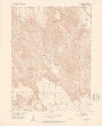
1951 · Oconto NW
USGS Topo · 1:24,000
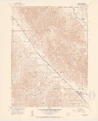
1951 · Oconto
USGS Topo · 1:24,000
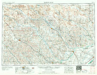
1955 · Broken Bow
USGS Topo · 1:250,000