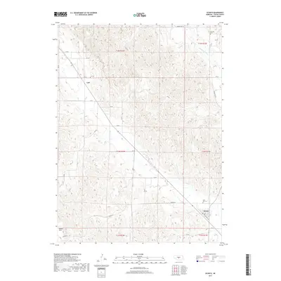
2017 Map of Oconto
USGS Topo · Published 2017About this map
Oconto serves as the primary hub in this central Nebraska landscape, positioned at the intersection of local routes and the Wood River. The map reveals a transition from the structured street grid of the town, including S Railroad St, to the winding drainage patterns of the surrounding highlands. Notable for genealogists are the dispersed burial grounds that anchor the local history, including Saint Mary Cem just north of the village and the more distant Lodi Cem and Riverside Cem.
Find a feature on this map
30 named features on this map. Tap any name to fly to it.
Don’t see what you’re looking for? This feature index may not catch every label — zoom into the map to look around manually.
Map Details
Editions of this 2017 Oconto Map
This is the sole edition of this map. No revisions or reprints were ever made.
Other maps of this area

1951 · Broken Bow SW
USGS Topo · 1:24,000

1951 · Callaway SE
USGS Topo · 1:24,000

1951 · Callaway
USGS Topo · 1:24,000

1951 · Oconto SW
USGS Topo · 1:24,000

1951 · Eddyville NW
USGS Topo · 1:24,000

1951 · Oconto SE
USGS Topo · 1:24,000

1951 · Eddyville SW
USGS Topo · 1:24,000

1951 · Oconto NW
USGS Topo · 1:24,000

1951 · Oconto
USGS Topo · 1:24,000

1955 · Broken Bow
USGS Topo · 1:250,000