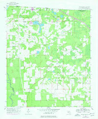
1956 Map of Octahatchee
USGS Topo · Published 1977About this map
The Withlacoochee River defines the western edge of this territory, where the Florida-Georgia state line meets at the Watson Line. The landscape is a mosaic of wetlands and small lakes, centered on the waters of Lake Octahatchee and the small settlement of Octahatchee. This mid-century survey illustrates a rural community organized around its social foundations, with education anchored by Bellville High Sch in the northwest and spiritual life centered at Triumph Ch, Mt Olive Ch, and Burnham Ch. For genealogists, the map preserves the exact locations of family burial grounds such as McCall Cem and Blair Cem, offering a spatial record of local heritage before later developments altered the rural road patterns and property lines of Hamilton County.
Find a feature on this map
15 named features on this map. Tap any name to fly to it.
Don’t see what you’re looking for? This feature index may not catch every label — zoom into the map to look around manually.
Map Details
Editions of this 1956 Octahatchee Map
2 editions found
Other maps of this area

1954 · Valdosta
USGS Topo · 1:250,000

1956 · Clyattville
USGS Topo · 1:24,000

1956 · Jennings
USGS Topo · 1:24,000

1956 · Octahatchee
USGS Topo · 1:24,000

1958 · Valdosta
USGS Topo · 1:250,000

1958 · Fort Union
USGS Topo · 1:24,000

1958 · Lee
USGS Topo · 1:24,000

1959 · Valdosta
USGS Topo · 1:250,000

1959 · Ellaville
USGS Topo · 1:24,000

1960 · Pinetta
USGS Topo · 1:24,000