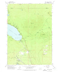
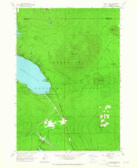
1963 Map of Odell Lake
USGS Topo · Published 1975About this map
Odell Lake and the surrounding volcanic terrain of the Deschutes National Forest dominate this mid-century survey, illustrating the area's development as a mountain recreational and transit hub. The Southern Pacific railroad line winds through the landscape, serving the small community of Odell Lake and passing the Odell Lake Resort. Further south, the map reveals the growing footprint of Crescent Lake, where development includes a Landing Strip and the Crescent Lake Junction.
Find a feature on this map
54 named features on this map. Tap any name to fly to it.
Don’t see what you’re looking for? This feature index may not catch every label — zoom into the map to look around manually.
Map Details
Editions of this 1963 Odell Lake Map
2 editions found
Other maps of this area

1917 · Diamond Lake
USGS Topo · 1:125,000

1925 · Waldo Lake
USGS Topo · 1:125,000

1930 · Maiden Peak
USGS Topo · 1:125,000

1934 · Maiden Peak
USGS Topo · 1:125,000

1935 · Chemult
USGS Topo · 1:96,000

1941 · Chemult
USGS Topo · 1:125,000

1955 · Crescent
USGS Topo · 1:250,000

1956 · Waldo Lake
USGS Topo · 1:62,500

1956 · Summit Lake
USGS Topo · 1:62,500

1957 · Crescent
USGS Topo · 1:250,000