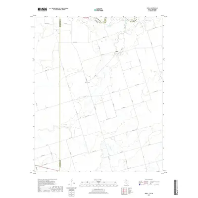
2019 Map of Odell
USGS Topo · Published 2019About this map
The Red River forms the winding northern boundary of this agricultural landscape in Wilbarger County, where the border between Texas and Oklahoma is defined by the shifting riverbed. The small community of Odell serves as a central hub, connected by a grid of rural routes including Cooper St and Fm 91 W. To the southwest, the named area of Plum Hollow sits near the drainage of Wanderers Creek, which meanders across the territory. The map illustrates a highly organized section-line road system, featuring local thoroughfares like Moffett Rd and Heilhecker Rd that support the region's farming operations. Further south, Wildcat Creek flows through the prairie, highlighting the importance of these seasonal watercourses in the Red River Valley.
Find a feature on this map
39 named features on this map. Tap any name to fly to it.
Don’t see what you’re looking for? This feature index may not catch every label — zoom into the map to look around manually.
Map Details
Editions of this 2019 Odell Map
This is the sole edition of this map. No revisions or reprints were ever made.
Other maps of this area

1955 · Lawton
USGS Topo · 1:250,000
1958 · Vernon
USGS Topo · 1:62,500
1958 · Medicine Mound
USGS Topo · 1:62,500
1958 · Elmer
USGS Topo · 1:62,500
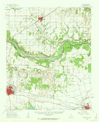
1960 · Quanah
USGS Topo · 1:62,500
1975 · Elmore City NE
USGS Topo · 1:24,000
1975 · Quanah NE
USGS Topo · 1:24,000
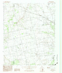
1983 · Tolbert
USGS Topo · 1:24,000
1983 · Vernon
USGS Topo · 1:24,000
1983 · Medicine Mound
USGS Topo · 1:24,000