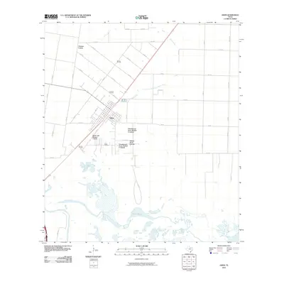
2010 Map of Odem
USGS Topo · Published 2010About this map
Odem serves as the central hub for this coastal plain region just north of Corpus Christi, where a network of colonias and residential developments like Cheyenne Colonia and Friendswood Acres Number 2 Colonia reveal the area's growth patterns. The landscape is defined by the winding course of the Nueces River and the complex wetlands of Rincon Bayou, providing a sharp contrast to the geometric grid of county roads and agricultural plots. Local history and genealogy are preserved in several distinct burial grounds, including Evergreen Cemetery, Bethel Cemetery, and San Pedro Cemetery, which are scattered around the main settlement. The industrial footprint of the region is noted at the Spartan Oil Field, while natural drainage features like Peters Swale help define the low-lying terrain. This survey reflects the modern intersection of traditional rural life, resource extraction, and expanding residential communities in South Texas.
Find a feature on this map
44 named features on this map. Tap any name to fly to it.
Don’t see what you’re looking for? This feature index may not catch every label — zoom into the map to look around manually.
Map Details
Editions of this 2010 Odem Map
This is the sole edition of this map. No revisions or reprints were ever made.
Other maps of this area

1925 · Robstown
USGS Topo · 1:62,500

1925 · Corpus Christi
USGS Topo · 1:62,500

1950 · Corpus Christi
USGS Topo · 1:250,000

1951 · Corpus Christi
USGS Topo · 1:24,000

1951 · Corpus Christi
USGS Topo · 1:62,500

1953 · Beeville
USGS Topo · 1:250,000

1954 · Woodsboro
USGS Topo · 1:62,500

1954 · Robstown
USGS Topo · 1:62,500

1954 · Sinton
USGS Topo · 1:62,500

1956 · Corpus Christi
USGS Topo · 1:250,000
Featured Places
- Corpus Christi, TX
- Odem, TX
- Bethel Estates Number 2 Colonia, TX
- Friendswood Acres Number 1 Colonia, TX
- Sunrise Acres Colonia, TX