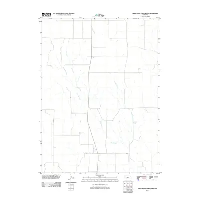
2011 Map of Odencranze Table North
USGS Topo · Published 2011About this map
Buffalo Creek and its major tributaries, West Buffalo Creek and East Buffalo Creek, carve a complex drainage system through this portion of Custer County. The landscape is defined by distinct topographical formations such as the elevated Odencranze Table and the lower Pancake Valley. The settlement of Etna serves as a small rural hub at the intersection of Etna Rd and New Hope Rd, reflecting the sparse but organized agricultural layout of the Nebraska plains.
Find a feature on this map
15 named features on this map. Tap any name to fly to it.
Don’t see what you’re looking for? This feature index may not catch every label — zoom into the map to look around manually.
Map Details
Editions of this 2011 Odencranze Table North Map
This is the sole edition of this map. No revisions or reprints were ever made.
Other maps of this area

1954 · North Platte
USGS Topo · 1:250,000

1956 · North Platte
USGS Topo · 1:250,000

1957 · North Platte
USGS Topo · 1:250,000

1967 · North Platte
USGS Topo · 1:250,000
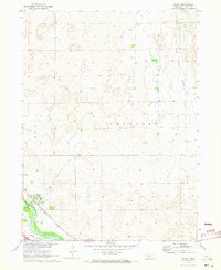
1970 · Brady
USGS Topo · 1:24,000
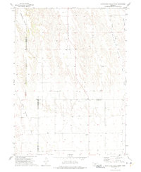
1972 · Odencranze Table South
USGS Topo · 1:24,000
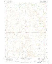
1972 · Murphy Table
USGS Topo · 1:24,000
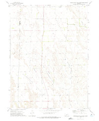
1972 · Odencranze Table North
USGS Topo · 1:24,000
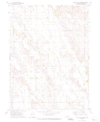
1972 · Roten Valley North
USGS Topo · 1:24,000
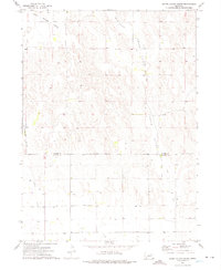
1972 · Roten Valley South
USGS Topo · 1:24,000