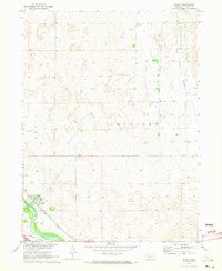
1970 Map of Brady
USGS Topo · Published 1973About this map
Brady sits as a vital junction in the Platte River valley, where the Union Pacific railroad parallels the historic transport corridor through Lincoln County. This 1970 survey captures the community and its surrounding agricultural landscape, characterized by the prominent Brady Island landform and the distinct upland terrain of Wild Horse Valley. The distribution of rural landmarks, such as the Wild Horse Valley Sch and Antelope Cem, reflects a settled ranching and farming economy established well before the modern era of Missouri River Basin development. Smaller details, including the Brady Cem and a localized Radio Tower, provide specific coordinates for family history research and local land-use studies, documenting the intersection of early rail infrastructure and mid-century rural life.
Find a feature on this map
12 named features on this map. Tap any name to fly to it.
Don’t see what you’re looking for? This feature index may not catch every label — zoom into the map to look around manually.
Map Details
Editions of this 1970 Brady Map
This is the sole edition of this map. No revisions or reprints were ever made.
Other maps of this area

1902 · Gothenburg
USGS Topo · 1:125,000

1954 · McCook
USGS Topo · 1:250,000

1954 · North Platte
USGS Topo · 1:250,000

1956 · North Platte
USGS Topo · 1:250,000

1957 · North Platte
USGS Topo · 1:250,000

1957 · McCook
USGS Topo · 1:250,000

1958 · McCook
USGS Topo · 1:250,000

1967 · North Platte
USGS Topo · 1:250,000
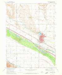
1970 · Gothenburg
USGS Topo · 1:24,000
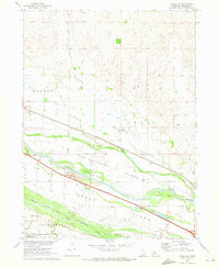
1970 · Brady SW
USGS Topo · 1:24,000