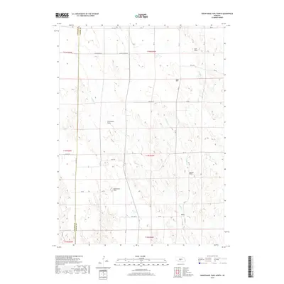
2017 Map of Odencranze Table North
USGS Topo · Published 2017About this map
Etna sits at the intersection of Dr 412 and Dr 780 in a landscape defined by the high, flat plateaus typical of Custer County. These elevated surfaces, including Odencranze Table and Tallin Table, are dissected by a complex network of drainages that feed the Platte River system. The water features here are dominated by the three branches of the Buffalo Creek system: W Buffalo Cr, E Buffalo Cr, and the main stem of Buffalo Creek. This topography creates distinct lowland pockets like Cottonwood Valley, Pancake Valley, and Sells Valley, where early agricultural development likely concentrated. The map details a strictly organized grid of rural roads, such as Tree Farm Rd and Lincoln Spur Rd, which follow the section lines of the Public Land Survey System. These roads provide access to the remote tables and valleys that have sustained this prairie region since its settlement.
Find a feature on this map
38 named features on this map. Tap any name to fly to it.
Don’t see what you’re looking for? This feature index may not catch every label — zoom into the map to look around manually.
Map Details
Editions of this 2017 Odencranze Table North Map
This is the sole edition of this map. No revisions or reprints were ever made.
Other maps of this area
1954 · North Platte
USGS Topo · 1:250,000
1956 · North Platte
USGS Topo · 1:250,000
1957 · North Platte
USGS Topo · 1:250,000
1967 · North Platte
USGS Topo · 1:250,000
1970 · Brady
USGS Topo · 1:24,000
1972 · Odencranze Table South
USGS Topo · 1:24,000
1972 · Murphy Table
USGS Topo · 1:24,000
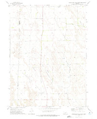
1972 · Odencranze Table North
USGS Topo · 1:24,000
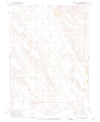
1972 · Roten Valley North
USGS Topo · 1:24,000
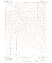
1972 · Roten Valley South
USGS Topo · 1:24,000