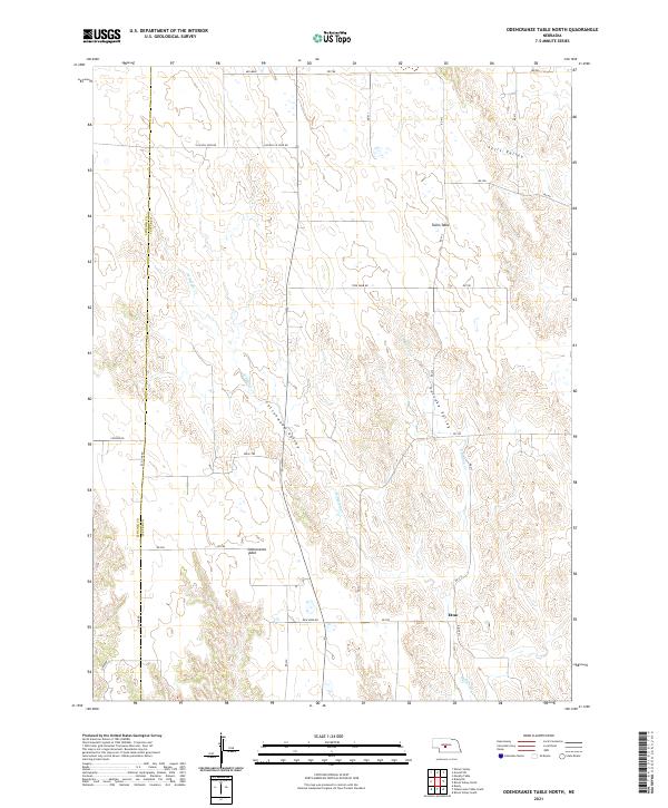
2021 Map of Odencranze Table North
USGS Topo · Published 2021About this map
Odencranze Table and Tallin Table dominate this portion of the Nebraska sandhills, where the high plains break into a series of deeply etched drainages. The small settlement of Etna sits in the southeastern corner of the quadrangle, serving as a landmark in a landscape defined by ranching and rural land divisions. The terrain is characterized by large upland flats that give way to significant lowland depressions, most notably Cottonwood Valley, Sells Valley, and the aptly named Pancake Valley.
Find a feature on this map
38 named features on this map. Tap any name to fly to it.
Don’t see what you’re looking for? This feature index may not catch every label — zoom into the map to look around manually.
Map Details
Editions of this 2021 Odencranze Table North Map
This is the sole edition of this map. No revisions or reprints were ever made.
Other maps of this area

1954 · North Platte
USGS Topo · 1:250,000

1956 · North Platte
USGS Topo · 1:250,000

1957 · North Platte
USGS Topo · 1:250,000

1967 · North Platte
USGS Topo · 1:250,000
1970 · Brady
USGS Topo · 1:24,000
1972 · Odencranze Table South
USGS Topo · 1:24,000
1972 · Murphy Table
USGS Topo · 1:24,000
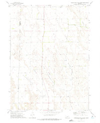
1972 · Odencranze Table North
USGS Topo · 1:24,000
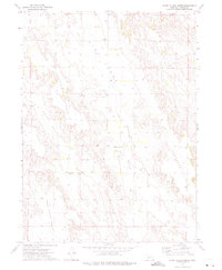
1972 · Roten Valley North
USGS Topo · 1:24,000
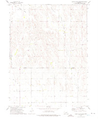
1972 · Roten Valley South
USGS Topo · 1:24,000