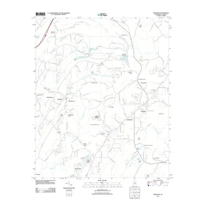
2011 Map of Odenville
USGS Topo · Published 2011About this map
Margaret and Odenville anchor this 2011 survey of St. Clair County, showcasing a landscape defined by ridgelines and man-made impoundments. The area's coal-mining heritage is subtly evident in place names like Coal Mountain, while the local social fabric is traced through legacy burial sites such as Macedonia Cemetery and the Austin Olds Cemetery. Small residential clusters like Turnbough Town and Crockertown are situated along the winding corridors of Big Black Creek and Beaver Creek, reflecting the historical settlement patterns of the Alabama hills.
Find a feature on this map
161 named features on this map. Tap any name to fly to it.
Don’t see what you’re looking for? This feature index may not catch every label — zoom into the map to look around manually.
Map Details
Editions of this 2011 Odenville Map
This is the sole edition of this map. No revisions or reprints were ever made.
Other maps of this area

1889 · Springville
USGS Topo · 1:125,000

1889 · Birmingham
USGS Topo · 1:125,000

1892 · Birmingham
USGS Topo · 1:125,000

1892 · Springville
USGS Topo · 1:125,000

1895 · Birmingham
USGS Topo · 1:125,000

1905 · Leeds
USGS Topo · 1:62,500

1907 · Birmingham
USGS Topo · 1:125,000

1907 · Leeds
USGS Topo · 1:62,500

1953 · Birmingham
USGS Topo · 1:250,000

1956 · Birmingham
USGS Topo · 1:250,000