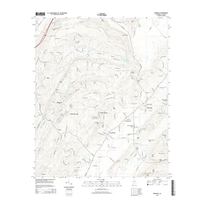
2014 Map of Odenville
USGS Topo · Published 2014About this map
Odenville and the surrounding Ridge-and-Valley settlements of St. Clair County are detailed in this 2014 survey. The landscape is defined by parallel ridges such as Simmons Mtn, Stovall Mtn, and the Beaver Creek Mountains, which dictate the paths of waterways like Big Black Cr and Beaver Cr. This modern edition reveals the continued presence of local crossroads and community centers including Crockertown, Branchville, and the small residential area of Turnbough Town. Genealogists will find the locations of several historic burial grounds, such as Branchville Cem and Austin Olds Cem, preserved in their topographical context.
Find a feature on this map
58 named features on this map. Tap any name to fly to it.
Don’t see what you’re looking for? This feature index may not catch every label — zoom into the map to look around manually.
Map Details
Editions of this 2014 Odenville Map
This is the sole edition of this map. No revisions or reprints were ever made.
Other maps of this area

1889 · Springville
USGS Topo · 1:125,000

1889 · Birmingham
USGS Topo · 1:125,000

1892 · Birmingham
USGS Topo · 1:125,000

1892 · Springville
USGS Topo · 1:125,000

1895 · Birmingham
USGS Topo · 1:125,000

1905 · Leeds
USGS Topo · 1:62,500

1907 · Birmingham
USGS Topo · 1:125,000

1907 · Leeds
USGS Topo · 1:62,500

1953 · Birmingham
USGS Topo · 1:250,000

1956 · Birmingham
USGS Topo · 1:250,000