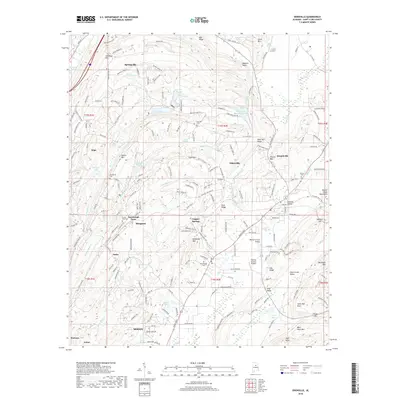
2018 Map of Odenville
USGS Topo · Published 2018About this map
Odenville and Springville anchor this detailed study of the Appalachian foothills in St. Clair County, where the landscape is defined by the northeast-to-southwest orientation of the Beaver Creek Mountains and the Beaver Creek Valley. The map highlights a transition from traditional rural settlements like Margaret and Sanie to more contemporary developments in Moody and Cahaba Valley. Genealogy researchers will find several well-placed landmarks, including Branchville Cem, Low Gap Cem, and Austin Olds Cem near Turnbrough Town.
Find a feature on this map
196 named features on this map. Tap any name to fly to it.
Don’t see what you’re looking for? This feature index may not catch every label — zoom into the map to look around manually.
Map Details
Editions of this 2018 Odenville Map
This is the sole edition of this map. No revisions or reprints were ever made.
Other maps of this area

1889 · Springville
USGS Topo · 1:125,000

1889 · Birmingham
USGS Topo · 1:125,000

1892 · Birmingham
USGS Topo · 1:125,000

1892 · Springville
USGS Topo · 1:125,000

1895 · Birmingham
USGS Topo · 1:125,000

1905 · Leeds
USGS Topo · 1:62,500

1907 · Birmingham
USGS Topo · 1:125,000

1907 · Leeds
USGS Topo · 1:62,500

1953 · Birmingham
USGS Topo · 1:250,000

1956 · Birmingham
USGS Topo · 1:250,000