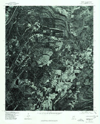
1975 Map of Odenville
USGS Topo · Published 1977About this map
Odenville serves as the primary focal point of this 1975 orthophotograph, situated in St. Clair County, Alabama. The imagery, captured by the U.S. Geological Survey in cooperation with the Soil Conservation Service, reveals a landscape defined by sharp topographical ridges and the expansion of the road network through the central valley. Unlike a standard line-drawn topographic map, this orthophoto provides a direct visual record of land use at the time, showing the clear demarcation between dense woodland on the steep hillsides and the geometric patterns of cleared fields and pastures. This specific record is valuable for observing the exact footprint of small-town development and rural agricultural boundaries as they existed in the mid-1970s.
Find a feature on this map
1 named feature on this map. Tap any name to fly to it.
Don’t see what you’re looking for? This feature index may not catch every label — zoom into the map to look around manually.
Map Details
Editions of this 1975 Odenville Map
This is the sole edition of this map. No revisions or reprints were ever made.
Other maps of this area

1889 · Springville
USGS Topo · 1:125,000

1889 · Birmingham
USGS Topo · 1:125,000

1892 · Birmingham
USGS Topo · 1:125,000

1892 · Springville
USGS Topo · 1:125,000

1895 · Birmingham
USGS Topo · 1:125,000

1905 · Leeds
USGS Topo · 1:62,500

1907 · Birmingham
USGS Topo · 1:125,000

1907 · Leeds
USGS Topo · 1:62,500

1953 · Birmingham
USGS Topo · 1:250,000

1956 · Birmingham
USGS Topo · 1:250,000