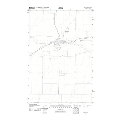
2011 Map of Odessa
USGS Topo · Published 2011About this map
Odessa serves as the focal point of this Eastern Washington landscape, situated at the junction of State Route 21 and 28. The town's grid is clearly defined by streets such as W Alice Ave and S Fairview St, bordered to the west by the Odessa Cemetery. The geography is shaped by the winding course of Crab Creek, which flows through the center of the settlement, and Duck Creek to the north.
Find a feature on this map
40 named features on this map. Tap any name to fly to it.
Don’t see what you’re looking for? This feature index may not catch every label — zoom into the map to look around manually.
Map Details
Editions of this 2011 Odessa Map
This is the sole edition of this map. No revisions or reprints were ever made.
Other maps of this area

1925 · Schrag
USGS Topo · 1:62,500

1953 · Ritzville
USGS Topo · 1:250,000

1959 · Ritzville
USGS Topo · 1:250,000

1965 · Ritzville
USGS Topo · 1:250,000

1967 · Schoonover
USGS Topo · 1:24,000

1967 · Batum
USGS Topo · 1:24,000

1967 · Reiman
USGS Topo · 1:24,000

1968 · Irby
USGS Topo · 1:24,000

1968 · Sylvan Lake
USGS Topo · 1:24,000

1968 · Coffeepot Lake
USGS Topo · 1:24,000