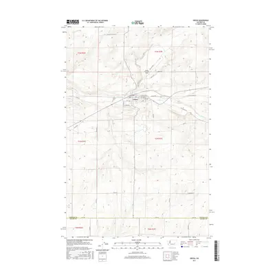
2017 Map of Odessa
USGS Topo · Published 2017About this map
Odessa sits at the heart of this East Central Washington landscape, where the perennial waters of Crab Cr wind through the basalt-coulee terrain. This 2017 study captures the community as it appeared in the early 21st century, showing the grid of town streets like E 1st Ave and S Fairway St alongside the Odessa Municipal Airport. The map detail extends to the northern border of Adams County, documenting the rural infrastructure of the Columbia Plateau.
Find a feature on this map
36 named features on this map. Tap any name to fly to it.
Don’t see what you’re looking for? This feature index may not catch every label — zoom into the map to look around manually.
Map Details
Editions of this 2017 Odessa Map
This is the sole edition of this map. No revisions or reprints were ever made.
Other maps of this area
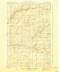
1925 · Schrag
USGS Topo · 1:62,500
1953 · Ritzville
USGS Topo · 1:250,000
1959 · Ritzville
USGS Topo · 1:250,000
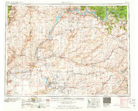
1965 · Ritzville
USGS Topo · 1:250,000
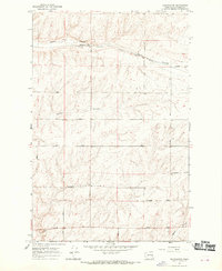
1967 · Schoonover
USGS Topo · 1:24,000
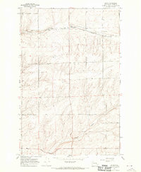
1967 · Batum
USGS Topo · 1:24,000
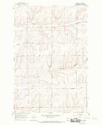
1967 · Reiman
USGS Topo · 1:24,000
1968 · Irby
USGS Topo · 1:24,000
1968 · Sylvan Lake
USGS Topo · 1:24,000
1968 · Coffeepot Lake
USGS Topo · 1:24,000