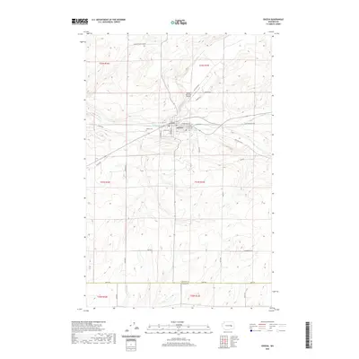
2020 Map of Odessa
USGS Topo · Published 2020About this map
The town of Odessa serves as the central hub for this portion of the Channeled Scablands, where the coulees and basalt formations of Eastern Washington dictate the path of local infrastructure. Flowing through the heart of the settlement, Crab Cr and its tributary Duck Cr provide the primary drainage for the surrounding dryland wheat country. This landscape is defined by a grid of agricultural roads, many bearing the names of local families such as Laney Brothers Rd E, Heimbigner Rd E, and King Ranch Rd E, reflecting the deep-rooted ranching and farming heritage of the region. On the western edge of the town site, the Odessa Cem and Odessa Municipal Airport stand as significant local landmarks. The southern boundary of the map follows the line between Lincoln Co and Adams Co, marking a transition between these two prominent agricultural counties.
Find a feature on this map
36 named features on this map. Tap any name to fly to it.
Don’t see what you’re looking for? This feature index may not catch every label — zoom into the map to look around manually.
Map Details
Editions of this 2020 Odessa Map
This is the sole edition of this map. No revisions or reprints were ever made.
Other maps of this area
1925 · Schrag
USGS Topo · 1:62,500
1953 · Ritzville
USGS Topo · 1:250,000
1959 · Ritzville
USGS Topo · 1:250,000
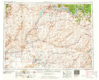
1965 · Ritzville
USGS Topo · 1:250,000
1967 · Schoonover
USGS Topo · 1:24,000
1967 · Batum
USGS Topo · 1:24,000
1967 · Reiman
USGS Topo · 1:24,000
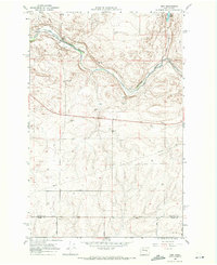
1968 · Irby
USGS Topo · 1:24,000
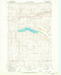
1968 · Sylvan Lake
USGS Topo · 1:24,000
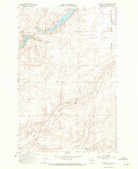
1968 · Coffeepot Lake
USGS Topo · 1:24,000