
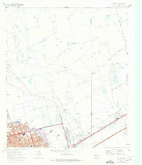
1964 Map of Odessa NE
USGS Topo · Published 1966About this map
The northeastern expansion of Odessa into the surrounding Permian Basin oil fields is captured in this mid-1960s survey. As the city pushes toward the Ector Co Midland Co boundary, new suburban developments like Golden Acres Country Club and schools including Permian High Sch and Ireland Sch appear alongside established industry. The landscape is dominated by the energy economy, with the Headlee Field, Hallanan Field, and Parks-Pennsylvanian Oil Field defining the terrain beyond the city limits.
Find a feature on this map
39 named features on this map. Tap any name to fly to it.
Don’t see what you’re looking for? This feature index may not catch every label — zoom into the map to look around manually.
Map Details
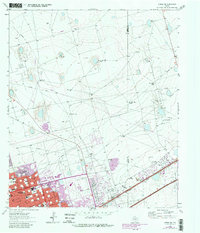
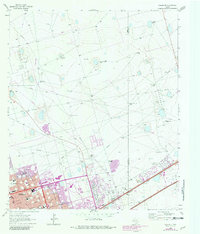
Editions of this 1964 Odessa NE Map
4 editions found
Other maps of this area

1954 · Hobbs
USGS Topo · 1:250,000

1954 · Pecos
USGS Topo · 1:250,000

1957 · Pecos
USGS Topo · 1:250,000

1958 · Hobbs
USGS Topo · 1:250,000

1964 · Odessa SW
USGS Topo · 1:24,000

1964 · Odessa NW
USGS Topo · 1:24,000

1964 · Odessa SE
USGS Topo · 1:24,000

1964 · Parks
USGS Topo · 1:24,000

1965 · Southwest Midland
USGS Topo · 1:24,000

1966 · Northwest Midland
USGS Topo · 1:24,000