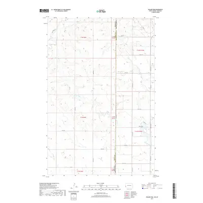
2017 Map of Odland Dam
USGS Topo · Published 2017About this map
Odland Dam forms a central water feature along the western edge of Golden Valley County, North Dakota, where the High Plains transition toward the Montana border. The landscape is defined by the drainage systems of Little Beaver Creek and its various tributaries, including Dry Cr and Hay Cr. This rural expanse is crisscrossed by a network of sectional roads and named routes that often reflect local land use and family history, such as Brenzer Rd, Carlyle Rd N, and Bass Rd. The map illustrates the sparsely populated ranching and farming country of the late 20th and early 21st centuries, providing a clear view of the territorial boundaries where the Wibaux and Golden Valley county lines meet the state divide.
Find a feature on this map
35 named features on this map. Tap any name to fly to it.
Don’t see what you’re looking for? This feature index may not catch every label — zoom into the map to look around manually.
Map Details
Editions of this 2017 Odland Dam Map
This is the sole edition of this map. No revisions or reprints were ever made.
Other maps of this area

1909 · Glendive
USGS Topo · 1:250,000

1953 · Miles City
USGS Topo · 1:250,000

1953 · Dickinson
USGS Topo · 1:250,000

1953 · Watford City
USGS Topo · 1:250,000

1954 · Glendive
USGS Topo · 1:250,000

1957 · Dickinson
USGS Topo · 1:250,000

1957 · Miles City
USGS Topo · 1:250,000

1957 · Glendive
USGS Topo · 1:250,000

1957 · Watford City
USGS Topo · 1:250,000

1958 · Miles City
USGS Topo · 1:250,000