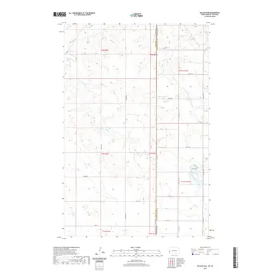
2020 Map of Odland Dam
USGS Topo · Published 2020About this map
The Odland Dam reservoir anchors this high-plains landscape where the borders of North Dakota and Montana meet. This 2020 survey illustrates a sparsely populated ranching and agricultural region defined by intermittent drainage systems. The map traces the winding paths of Little Beaver Creek and its namesake Little Beaver Cr, alongside Beaver Cr, Dry Cr, and the headwaters of Hay Cr. This network of seasonal waterways carved the coulees and draws that dictate the local road grid.
Find a feature on this map
34 named features on this map. Tap any name to fly to it.
Don’t see what you’re looking for? This feature index may not catch every label — zoom into the map to look around manually.
Map Details
Editions of this 2020 Odland Dam Map
This is the sole edition of this map. No revisions or reprints were ever made.
Other maps of this area

1909 · Glendive
USGS Topo · 1:250,000

1953 · Miles City
USGS Topo · 1:250,000

1953 · Dickinson
USGS Topo · 1:250,000

1953 · Watford City
USGS Topo · 1:250,000

1954 · Glendive
USGS Topo · 1:250,000

1957 · Dickinson
USGS Topo · 1:250,000

1957 · Miles City
USGS Topo · 1:250,000

1957 · Glendive
USGS Topo · 1:250,000

1957 · Watford City
USGS Topo · 1:250,000

1958 · Miles City
USGS Topo · 1:250,000