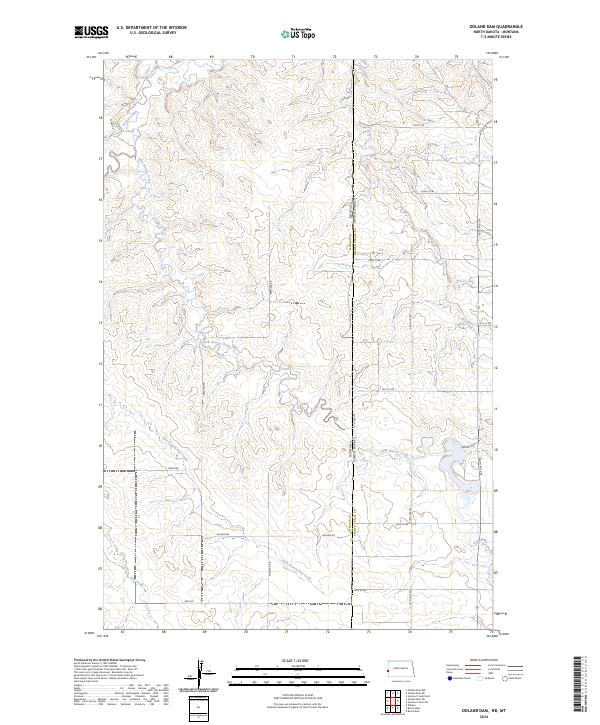
2024 Map of Odland Dam
USGS Topo · Published 2024About this map
Little Beaver Creek and its many tributaries wind through this prairie landscape along the Montana-North Dakota border. The topographic detail highlights the complex drainage system of the Badlands fringe, where the Odland Dam creates a significant water feature in an otherwise arid expanse. The map reveals a strictly gridded section-line road network characteristic of the Great Plains, punctuated by family-named routes such as Steele Rd, Brenizer Rd, and W Bar Rd. This 2024 survey documents the enduring pastoral character of Golden Valley County, showing how the land is segmented into townships and ranges. Watercourses like East Branch Hay Creek and Dry Creek follow the natural coulees, providing a stark contrast to the rigid geometry of the surrounding section lines and county boundaries.
Find a feature on this map
34 named features on this map. Tap any name to fly to it.
Don’t see what you’re looking for? This feature index may not catch every label — zoom into the map to look around manually.
Map Details
Editions of this 2024 Odland Dam Map
This is the sole edition of this map. No revisions or reprints were ever made.
Other maps of this area

1909 · Glendive
USGS Topo · 1:250,000

1953 · Miles City
USGS Topo · 1:250,000

1953 · Dickinson
USGS Topo · 1:250,000

1953 · Watford City
USGS Topo · 1:250,000

1954 · Glendive
USGS Topo · 1:250,000

1957 · Dickinson
USGS Topo · 1:250,000

1957 · Miles City
USGS Topo · 1:250,000

1957 · Glendive
USGS Topo · 1:250,000

1957 · Watford City
USGS Topo · 1:250,000

1958 · Miles City
USGS Topo · 1:250,000