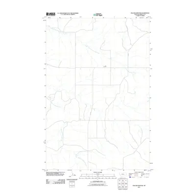
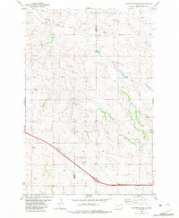
2011 Map of Odland Dam NW
USGS Topo · Published 2011About this map
Been Cemetery serves as a small, quiet landmark in the open ranchland of Wibaux County, offering a tangible connection to the early families who settled this corner of eastern Montana. The landscape is defined by the dendritic drainage patterns of the North Fork Cottonwood Creek and the South Fork Cottonwood Creek, which carve subtle valleys across the high plains. In this 2011 survey, the human footprint remains sparse, primarily consisting of a rectilinear grid of section roads and larger thoroughfares like County Rd 261 and Hwy 281. The map captures the enduring character of a remote rural interior, where the placement of a single cemetery or the convergence of two prairie forks provides the primary sense of orientation for researchers and genealogists tracing the history of the region.
Find a feature on this map
6 named features on this map. Tap any name to fly to it.
Don’t see what you’re looking for? This feature index may not catch every label — zoom into the map to look around manually.
Map Details
Editions of this 2011 Odland Dam NW Map
This is the sole edition of this map. No revisions or reprints were ever made.
Other maps of this area

1909 · Glendive
USGS Topo · 1:250,000

1954 · Glendive
USGS Topo · 1:250,000

1957 · Glendive
USGS Topo · 1:250,000

1958 · Glendive
USGS Topo · 1:250,000

1966 · Savage SE
USGS Topo · 1:24,000
1974 · Skaar
USGS Topo · 1:24,000
1974 · Odland Dam
USGS Topo · 1:24,000
1974 · Odland Dam NE
USGS Topo · 1:24,000

1981 · Glendive
USGS Topo · 1:100,000
1982 · Cluster Buttes SE
USGS Topo · 1:24,000