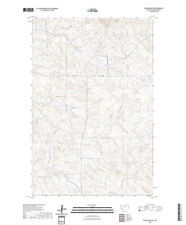
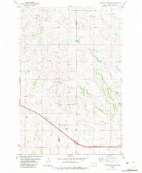
2024 Map of Odland Dam NW
USGS Topo · Published 2024About this map
Farm Service Agency Interest of Montana lands define the northern reaches of this Wibaux County landscape, where the drainage patterns of the North Fork Cottonwood Creek and South Fork Cottonwood Creek carve through the high plains. The area is characterized by a sparse network of section-line roads, such as Been Rd and Sleepy Hollow Rd, which serve the expansive agricultural tracts and grazing lands. The presence of the Been Cem along Been Road offers a specific point of interest for genealogists tracing early families in this part of Montana.
Find a feature on this map
13 named features on this map. Tap any name to fly to it.
Don’t see what you’re looking for? This feature index may not catch every label — zoom into the map to look around manually.
Map Details
Editions of this 2024 Odland Dam NW Map
This is the sole edition of this map. No revisions or reprints were ever made.
Other maps of this area

1909 · Glendive
USGS Topo · 1:250,000

1954 · Glendive
USGS Topo · 1:250,000

1957 · Glendive
USGS Topo · 1:250,000

1958 · Glendive
USGS Topo · 1:250,000

1966 · Savage SE
USGS Topo · 1:24,000
1974 · Skaar
USGS Topo · 1:24,000
1974 · Odland Dam
USGS Topo · 1:24,000
1974 · Odland Dam NE
USGS Topo · 1:24,000

1981 · Glendive
USGS Topo · 1:100,000
1982 · Cluster Buttes SE
USGS Topo · 1:24,000