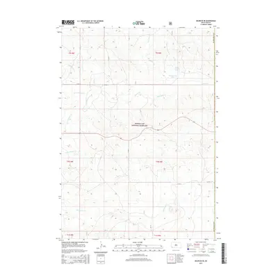
2015 Map of Oelrichs NE
USGS Topo · Published 2015About this map
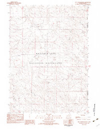
Buffalo Gap National Grassland dominates this corner of the South Dakota landscape, where the prairie is defined by an intricate network of seasonal drainages and draws. The complex hydrology of the region is evident in the converging branches of Blacktail Creek, including the S Fork Blacktail Cr, N Fork Blacktail Cr, and S Br Blacktail Cr. These waterways, along with others like School Section Cr and Middle Kneebone Draw, have historically dictated the placement of ranch roads and township boundaries.
Find a feature on this map
19 named features on this map. Tap any name to fly to it.
Don’t see what you’re looking for? This feature index may not catch every label — zoom into the map to look around manually.
Map Details
Editions of this 2015 Oelrichs NE Map
This is the sole edition of this map. No revisions or reprints were ever made.
Other maps of this area

1896 · Oelrichs
USGS Topo · 1:125,000

1900 · Oelrichs
USGS Topo · 1:125,000

1955 · Hot Springs
USGS Topo · 1:250,000

1967 · Slim Butte SW
USGS Topo · 1:24,000

1967 · Slim Butte NW
USGS Topo · 1:24,000

1967 · Willow Creek SW
USGS Topo · 1:24,000
1982 · Smithwick
USGS Topo · 1:25,000
1982 · Oelrichs SW
USGS Topo · 1:25,000
1982 · Heinne Creek
USGS Topo · 1:25,000
1982 · Hay Canyon Butte
USGS Topo · 1:25,000